Taukihepa / Big South Cape Island Area, Taukihepa / Big South Cape Island Postcode & Map in Taukihepa / Big South Cape Island
Taukihepa / Big South Cape Island Area, Taukihepa / Big South Cape Island Postcode & Map in Taukihepa / Big South Cape Island, Southland District, New Zealand
Taukihepa / Big South Cape Island, Southland District, New Zealand
Taukihepa / Big South Cape Island Area (estimated)
11.0 square kilometersTaukihepa / Big South Cape Island Population (estimated)
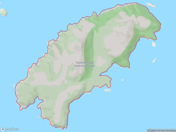
0 people live in Taukihepa / Big South Cape Island, Southland, NZTaukihepa / Big South Cape Island Suburb Area Map (Polygon)
Taukihepa / Big South Cape Island Introduction
Taukihepa / Big South Cape Island is a small, rocky island located off the southern coast of Southland, New Zealand. It is part of the Big South Cape Island Group and is known for its stunning coastal scenery, including rugged cliffs, sandy beaches, and diverse wildlife. The island is a popular destination for hiking, camping, and birdwatching, with several tracks and walking paths leading to scenic viewpoints and wildlife hotspots. Taukihepa / Big South Cape Island is also home to a small community of people who live in traditional Maori settlements.Region
Suburb Name
Taukihepa / Big South Cape IslandOther Name(s)
Titi / Muttonbird Islands, Big South Cape Island, Taukihepa (Maori Name: Tītī / Muttonbird Islands, Big South Cape Island, Taukihepa)Taukihepa / Big South Cape Island Area Map (Street)

Local Authority
Southland DistrictFull Address
Taukihepa / Big South Cape Island, Southland District, New ZealandAddress Type
IslandTaukihepa / Big South Cape Island Suburb Map (Satellite)

Country
Main Region in AU
SouthlandTaukihepa / Big South Cape Island Region Map

Coordinates
-47.24267335,167.402540950106 (latitude/longitude)Distances
The distance from Taukihepa / Big South Cape Island, , Southland District to NZ Top 10 Cities