Big Island Area, Big Island Postcode & Map in Big Island
Big Island Area, Big Island Postcode & Map in Big Island, Southland District, New Zealand
Big Island, Southland District, New Zealand
Big Island Area (estimated)
0.3 square kilometersBig Island Population (estimated)
0 people live in Big Island, Southland, NZBig Island Suburb Area Map (Polygon)
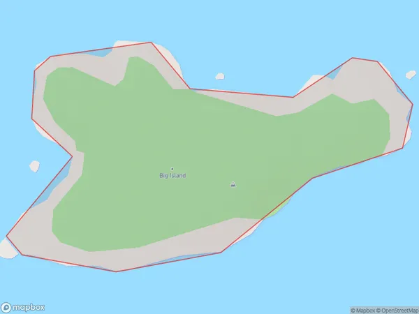
Big Island Introduction
Big Island is the largest of the Southland Islands in New Zealand. It is known for its diverse landscapes, including active volcanoes, lush rainforests, and black sand beaches. The island is home to a variety of wildlife, including the rare kiwi bird.Region
Suburb Name
Big IslandOther Name(s)
Boat Group, Titi / Muttonbird Islands (Maori Name: Boat Group, Tītī / Muttonbird Islands)Big Island Area Map (Street)
Local Authority
Southland DistrictFull Address
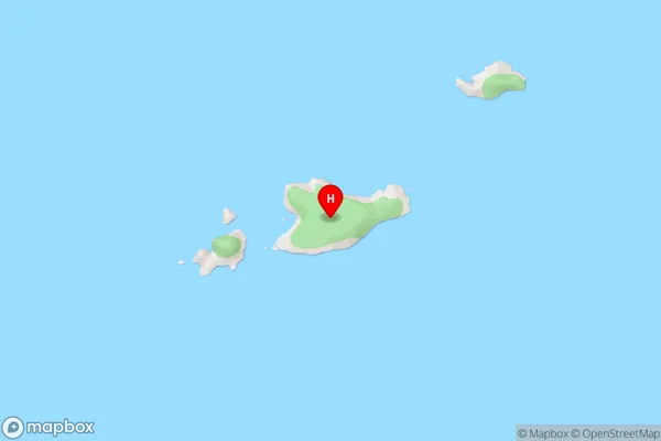
Big Island, Southland District, New ZealandAddress Type
IslandBig Island Suburb Map (Satellite)
Country
Main Region in AU
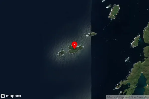
SouthlandBig Island Region Map

Coordinates
-47.1371956,167.5252844 (latitude/longitude)Distances
The distance from Big Island, , Southland District to NZ Top 10 Cities