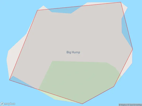
Big Hump Area, Big Hump Postcode(3500) & Map in Big Hump
Big Hump Area, Big Hump Postcode(3500) & Map in Big Hump, Thames-Coromandel District, New Zealand
Big Hump, Thames-Coromandel District, New Zealand
Big Hump Postcodes
Big Hump Area (estimated)
0.0 square kilometersBig Hump Population (estimated)
0 people live in Big Hump, Waikato, NZBig Hump Suburb Area Map (Polygon)
Big Hump Introduction
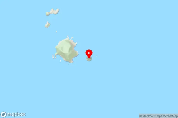
Big Hump is a hill in the Waikato region of New Zealand. It is known for its distinctive shape and has become a popular tourist attraction. The hill is approximately 300 meters high and offers panoramic views of the surrounding area. It is also a popular spot for hiking and mountain biking.Region
Suburb Name
Big HumpOther Name(s)
The Aldermen IslandsBig Hump Area Map (Street)
Local Authority
Thames-Coromandel DistrictFull Address
Big Hump, Thames-Coromandel District, New ZealandAddress Type
IslandBig Hump Suburb Map (Satellite)

Country
Main Region in AU
WaikatoBig Hump Region Map

Coordinates
-36.97694515,176.087734145844 (latitude/longitude)Distances
The distance from Big Hump, , Thames-Coromandel District to NZ Top 10 Cities