Betsy Island Area, Betsy Island Postcode & Map in Betsy Island
Betsy Island Area, Betsy Island Postcode & Map in Betsy Island, Southland District, New Zealand
Betsy Island, Southland District, New Zealand
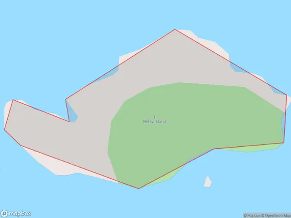
Betsy Island Area (estimated)
0.1 square kilometersBetsy Island Population (estimated)
0 people live in Betsy Island, Southland, NZBetsy Island Suburb Area Map (Polygon)
Betsy Island Introduction
Betsy Island is a small island located in Fiordland National Park, Southland, New Zealand. It is known for its stunning natural beauty, including lush forests, waterfalls, and crystal-clear lakes. The island is a popular destination for hiking, camping, and wildlife viewing, with a variety of species of birds and animals including kea, tui, and fur seals. The island also has a rich history, with evidence of early Māori settlement and European exploration.Region
Suburb Name
Betsy IslandOther Name(s)
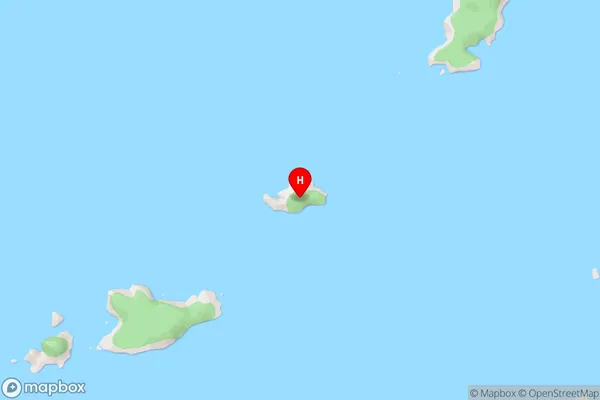
Boat Group, Titi / Muttonbird Islands (Maori Name: Boat Group, Tītī / Muttonbird Islands)Betsy Island Area Map (Street)
Local Authority
Southland DistrictFull Address
Betsy Island, Southland District, New ZealandAddress Type
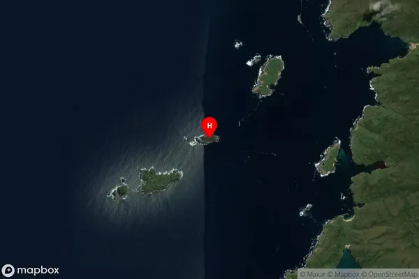
IslandBetsy Island Suburb Map (Satellite)
Country
Main Region in AU
SouthlandBetsy Island Region Map

Coordinates
-47.1300096,167.5382277 (latitude/longitude)Distances
The distance from Betsy Island, , Southland District to NZ Top 10 Cities