Bench Island Area, Bench Island Postcode & Map in Bench Island
Bench Island Area, Bench Island Postcode & Map in Bench Island, Southland District, New Zealand
Bench Island, Southland District, New Zealand
Bench Island Area (estimated)
2.1 square kilometersBench Island Population (estimated)
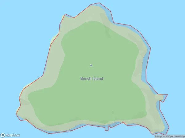
0 people live in Bench Island, Southland, NZBench Island Suburb Area Map (Polygon)
Bench Island Introduction
Bench Island is a small island in Fiordland National Park, Southland, New Zealand. It is located in the southern part of Lake Wakatipu and is accessible by a short boat ride from Te Anau. The island is known for its stunning natural beauty, including lush forests, waterfalls, and crystal-clear lakes. Bench Island is a popular destination for hiking, camping, and wildlife viewing, with a variety of species of birds and animals found on the island.Region
Suburb Name
Bench IslandBench Island Area Map (Street)

Local Authority
Southland DistrictFull Address
Bench Island, Southland District, New ZealandAddress Type
IslandBench Island Suburb Map (Satellite)

Country
Main Region in AU
SouthlandBench Island Region Map

Coordinates
-46.90784995,168.239881061087 (latitude/longitude)Distances
The distance from Bench Island, , Southland District to NZ Top 10 Cities