Belle Vue Island Area, Belle Vue Island Postcode(9643) & Map in Belle Vue Island
Belle Vue Island Area, Belle Vue Island Postcode(9643) & Map in Belle Vue Island, Southland District, New Zealand
Belle Vue Island, Southland District, New Zealand
Belle Vue Island Postcodes
Belle Vue Island Area (estimated)
0.0 square kilometersBelle Vue Island Population (estimated)
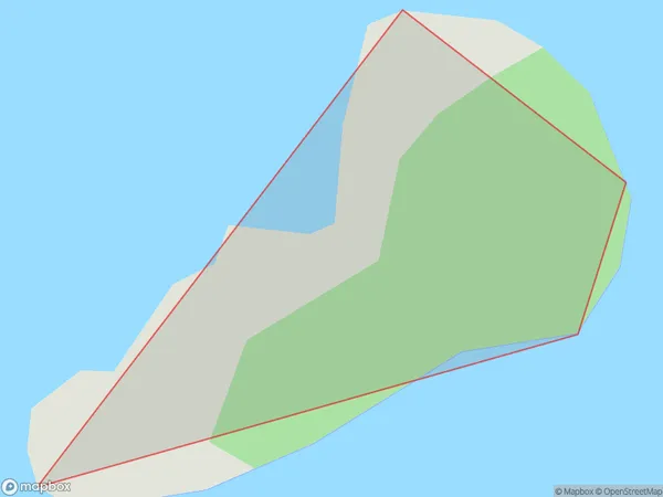
0 people live in Belle Vue Island, Fiordland Community, NZBelle Vue Island Suburb Area Map (Polygon)
Belle Vue Island Introduction
Belle Vue Island is a small, privately owned island in Fiordland, Southland, New Zealand. It is surrounded by stunning natural scenery, including mountains, forests, and waterfalls, and is popular with tourists and outdoor enthusiasts. The island has a population of around 50 people and is accessible by boat or helicopter. It is home to a variety of wildlife, including seals, penguins, and kea birds.Region
Major City
Suburb Name
Belle Vue IslandOther Name(s)
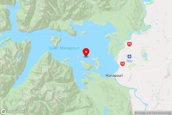
Lake ManapouriBelle Vue Island Area Map (Street)
Local Authority
Southland DistrictFull Address
Belle Vue Island, Southland District, New ZealandAddress Type
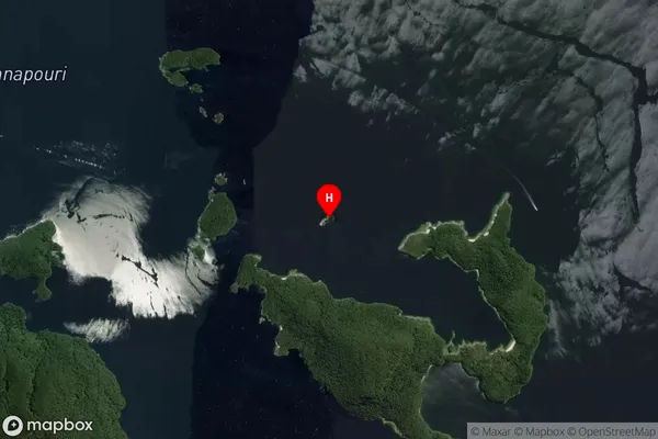
IslandBelle Vue Island Suburb Map (Satellite)
Country
Main Region in AU
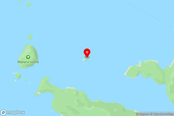
SouthlandBelle Vue Island Region Map
Coordinates
-45.5350529,167.54566978711 (latitude/longitude)Distances
The distance from Belle Vue Island, , Southland District to NZ Top 10 Cities