Bauza Island Area, Bauza Island Postcode & Map in Bauza Island
Bauza Island Area, Bauza Island Postcode & Map in Bauza Island, Southland District, New Zealand
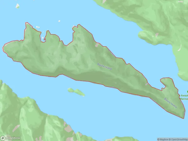
Bauza Island, Southland District, New Zealand
Bauza Island Area (estimated)
5.5 square kilometersBauza Island Population (estimated)
0 people live in Bauza Island, Southland, NZBauza Island Suburb Area Map (Polygon)
Bauza Island Introduction
Bauza Island is a small, uninhabited island in Fiordland National Park, Southland, New Zealand. It is located in the southern part of the park and is accessible by a short boat ride from the town of Milford Sound. The island is known for its stunning natural beauty, including rugged cliffs, waterfalls, and dense forests. It is a popular destination for hiking, camping, and wildlife viewing.Region
Suburb Name
Bauza IslandOther Name(s)
Doubtful Sound / PateaBauza Island Area Map (Street)

Local Authority
Southland DistrictFull Address
Bauza Island, Southland District, New ZealandAddress Type
IslandBauza Island Suburb Map (Satellite)

Country
Main Region in AU
SouthlandBauza Island Region Map

Coordinates
-45.29168895,166.91177270746 (latitude/longitude)Distances
The distance from Bauza Island, , Southland District to NZ Top 10 Cities