Battleship Rock Area, Battleship Rock Postcode & Map in Battleship Rock
Battleship Rock Area, Battleship Rock Postcode & Map in Battleship Rock, Far North District, New Zealand
Battleship Rock, Far North District, New Zealand
Battleship Rock Area (estimated)
0.0 square kilometersBattleship Rock Population (estimated)
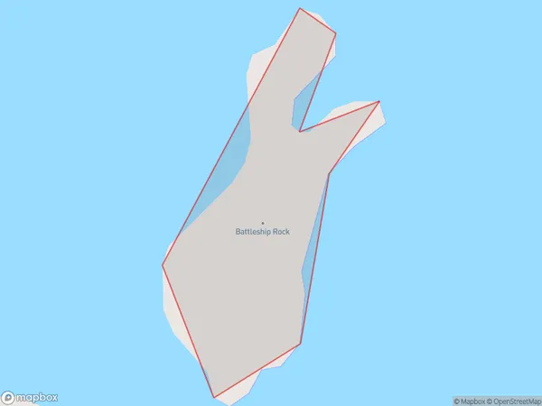
0 people live in Battleship Rock, Bay of Islands-Whangaroa Community, NZBattleship Rock Suburb Area Map (Polygon)
Battleship Rock Introduction
Battleship Rock is a large rock formation located off the coast of Northland, New Zealand. It is a popular tourist destination and is known for its stunning natural beauty and rich history. The rock formation is believed to have been formed over millions of years by volcanic activity and erosion. It is also home to a variety of marine life, including whales, dolphins, and seals. Visitors can take boat tours to see the rock from the water, or walk to the top for panoramic views of the surrounding area.Region
Major City
Suburb Name
Battleship RockOther Name(s)
Bay Of IslandsBattleship Rock Area Map (Street)

Local Authority
Far North DistrictFull Address
Battleship Rock, Far North District, New ZealandAddress Type
IslandBattleship Rock Suburb Map (Satellite)

Country
Main Region in AU
NorthlandBattleship Rock Region Map

Coordinates
-35.20876275,174.114335459117 (latitude/longitude)Distances
The distance from Battleship Rock, , Far North District to NZ Top 10 Cities