Te Motu-o-Kura / Bare Island Area, Te Motu-o-Kura / Bare Island Postcode & Map in Te Motu-o-Kura / Bare Island
Te Motu-o-Kura / Bare Island Area, Te Motu-o-Kura / Bare Island Postcode & Map in Te Motu-o-Kura / Bare Island, Area outside Territorial Authority, New Zealand
Te Motu-o-Kura / Bare Island, Area outside Territorial Authority, New Zealand
Te Motu-o-Kura / Bare Island Area (estimated)
0.1 square kilometersTe Motu-o-Kura / Bare Island Population (estimated)
0 people live in Te Motu-o-Kura / Bare Island, Hawke's Bay, NZTe Motu-o-Kura / Bare Island Suburb Area Map (Polygon)
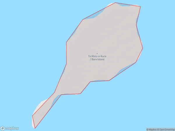
Te Motu-o-Kura / Bare Island Introduction
Te Motu-o-Kura / Bare Island is a small, uninhabited island located in the Hawke's Bay region of New Zealand. It is known for its unique geological features, including a volcanic cone and a series of caves. The island is a popular destination for bird watchers and nature enthusiasts, and is part of the Te Motu Marine Reserve.Region
Suburb Name
Te Motu-o-Kura / Bare IslandOther Name(s)
Bare Island, Motu O KuraTe Motu-o-Kura / Bare Island Area Map (Street)

Local Authority
Area outside Territorial AuthorityFull Address
Te Motu-o-Kura / Bare Island, Area outside Territorial Authority, New ZealandAddress Type
IslandTe Motu-o-Kura / Bare Island Suburb Map (Satellite)

Country
Main Region in AU
Hawke's BayTe Motu-o-Kura / Bare Island Region Map

Coordinates
-39.8340218,177.027470594043 (latitude/longitude)Distances
The distance from Te Motu-o-Kura / Bare Island, , Area outside Territorial Authority to NZ Top 10 Cities