Atihau Island Area, Atihau Island Postcode(1148) & Map in Atihau Island
Atihau Island Area, Atihau Island Postcode(1148) & Map in Atihau Island, Auckland, New Zealand
Atihau Island, Auckland, New Zealand
Atihau Island Postcodes
Atihau Island Area (estimated)
0.2 square kilometersAtihau Island Population (estimated)
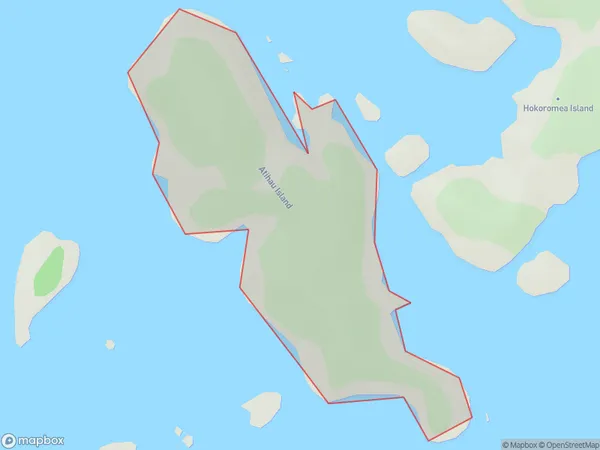
0 people live in Atihau Island, Aotea Great Barrier, NZAtihau Island Suburb Area Map (Polygon)
Atihau Island Introduction
Atihau Island is a small, privately owned island in the Hauraki Gulf, 30 km northwest of Auckland, New Zealand. It is known for its scenic beauty, wildlife, and relaxed atmosphere, with a population of around 50 people. The island has a variety of accommodation options, including a lodge and a camping ground, and is popular with tourists and outdoor enthusiasts.Region
Major City
Suburb Name
Atihau IslandOther Name(s)
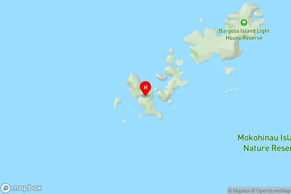
Flax Islands, Mokohinau IslandsAtihau Island Area Map (Street)
Local Authority
AucklandFull Address
Atihau Island, Auckland, New ZealandAddress Type
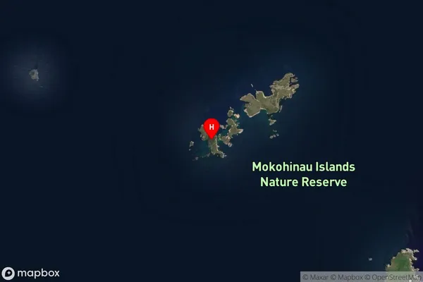
IslandAtihau Island Suburb Map (Satellite)
Country
Main Region in AU
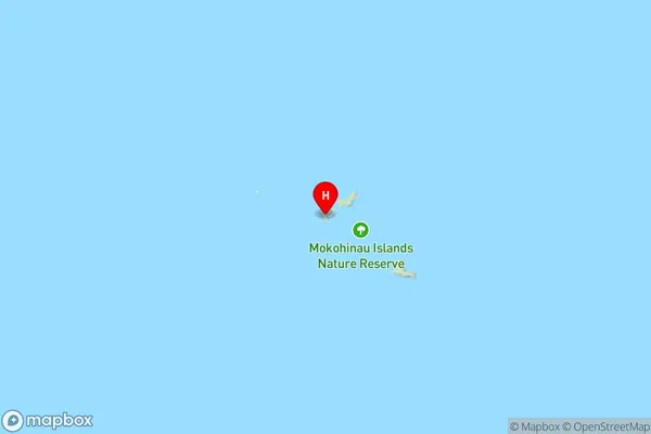
AucklandAtihau Island Region Map
Coordinates
-35.91329045,175.099257302249 (latitude/longitude)Distances
The distance from Atihau Island, , Auckland to NZ Top 10 Cities