Arapaoa Island Area, Arapaoa Island Postcode & Map in Arapaoa Island
Arapaoa Island Area, Arapaoa Island Postcode & Map in Arapaoa Island, Marlborough District, New Zealand
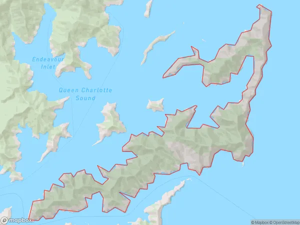
Arapaoa Island, Marlborough District, New Zealand
Arapaoa Island Area (estimated)
91.5 square kilometersArapaoa Island Population (estimated)
10 people live in Arapaoa Island, Marlborough, NZArapaoa Island Suburb Area Map (Polygon)
Arapaoa Island Introduction
Arapaoa Island is a small, uninhabited island in the Marlborough Sounds, New Zealand. It is part of the Arapaoa Island Group and is known for its stunning natural beauty, including lush forests, crystal-clear waters, and diverse wildlife. The island is accessible by boat or helicopter and is a popular destination for hiking, kayaking, and wildlife watching.Region
0Suburb Name
Arapaoa IslandArapaoa Island Area Map (Street)

Local Authority
Marlborough DistrictFull Address
Arapaoa Island, Marlborough District, New ZealandAddress Type
Island in Major Locality Marlborough SoundsArapaoa Island Suburb Map (Satellite)

Country
Main Region in AU
MarlboroughArapaoa Island Region Map

Coordinates
-41.1658371,174.352859509688 (latitude/longitude)Distances
The distance from Arapaoa Island, Marlborough Sounds, Marlborough District to NZ Top 10 Cities