Araara Island Area, Araara Island Postcode & Map in Araara Island
Araara Island Area, Araara Island Postcode & Map in Araara Island, Whangarei District, New Zealand
Araara Island, Whangarei District, New Zealand
Araara Island Area (estimated)
0.0 square kilometersAraara Island Population (estimated)
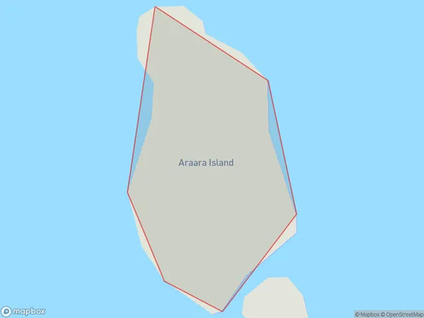
0 people live in Araara Island, Northland, NZAraara Island Suburb Area Map (Polygon)
Araara Island Introduction
Araara Island is a small, uninhabited island in the Bay of Islands, Northland, New Zealand. It is part of the Araara Island Group and is known for its scenic beauty and diverse wildlife. The island is surrounded by clear waters and is home to a variety of bird species, including terns, gulls, and penguins. It is also a popular spot for kayaking and snorkeling.Region
Suburb Name
Araara IslandOther Name(s)
Hen And ChickensAraara Island Area Map (Street)

Local Authority
Whangarei DistrictFull Address
Araara Island, Whangarei District, New ZealandAddress Type
IslandAraara Island Suburb Map (Satellite)

Country
Main Region in AU
NorthlandAraara Island Region Map

Coordinates
-35.8969521,174.701062681646 (latitude/longitude)Distances
The distance from Araara Island, , Whangarei District to NZ Top 10 Cities