Aorangi Island Area, Aorangi Island Postcode & Map in Aorangi Island
Aorangi Island Area, Aorangi Island Postcode & Map in Aorangi Island, Whangarei District, New Zealand
Aorangi Island, Whangarei District, New Zealand
Aorangi Island Area (estimated)
1.3 square kilometersAorangi Island Population (estimated)
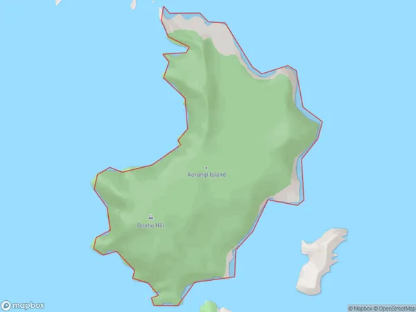
0 people live in Aorangi Island, Northland, NZAorangi Island Suburb Area Map (Polygon)
Aorangi Island Introduction
Aorangi Island is a 32-hectare island in the Bay of Islands, Northland, New Zealand. It is the most northern island in New Zealand and is known for its scenic beauty, including Mt. Parihaka, a dormant volcano. The island is a popular destination for hiking, camping, and wildlife viewing, with a population of around 100 people.Region
Suburb Name
Aorangi IslandOther Name(s)
Poor Knights IslandsAorangi Island Area Map (Street)

Local Authority
Whangarei DistrictFull Address
Aorangi Island, Whangarei District, New ZealandAddress Type
IslandAorangi Island Suburb Map (Satellite)

Country
Main Region in AU
NorthlandAorangi Island Region Map

Coordinates
-35.48103265,174.741119573333 (latitude/longitude)Distances
The distance from Aorangi Island, , Whangarei District to NZ Top 10 Cities