Anchorage Island Area, Anchorage Island Postcode & Map in Anchorage Island
Anchorage Island Area, Anchorage Island Postcode & Map in Anchorage Island, Southland District, New Zealand
Anchorage Island, Southland District, New Zealand
Anchorage Island Area (estimated)
1.7 square kilometersAnchorage Island Population (estimated)
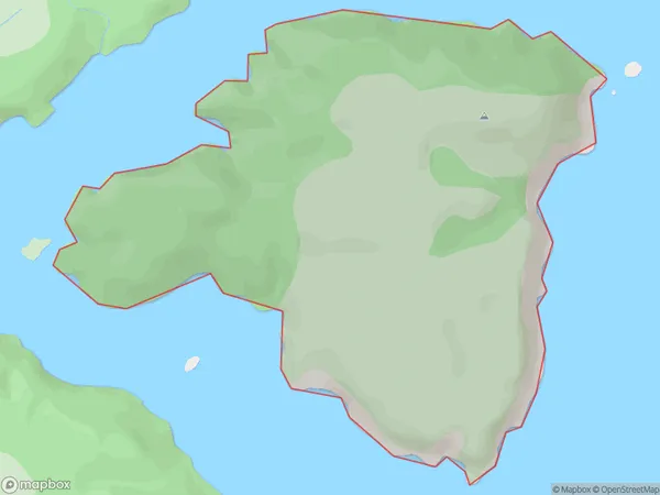
0 people live in Anchorage Island, Southland, NZAnchorage Island Suburb Area Map (Polygon)
Anchorage Island Introduction
Anchorage Island is a small island located in Fiordland National Park, Southland, New Zealand. It is known for its stunning natural beauty, including lush forests, waterfalls, and crystal-clear lakes. The island is a popular destination for hiking, camping, and wildlife viewing, with a variety of species of birds and animals including kea, tui, and fur seals. Anchorage Island is also home to a historic lighthouse, built in 1898, which provides a picturesque backdrop to the island's natural wonders.Region
Suburb Name
Anchorage IslandOther Name(s)
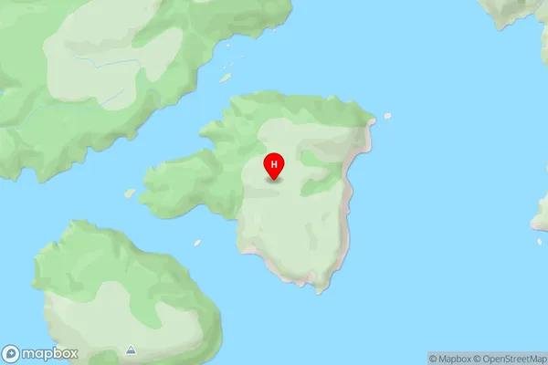
Port Pegasus / PikihatitiAnchorage Island Area Map (Street)
Local Authority
Southland DistrictFull Address
Anchorage Island, Southland District, New ZealandAddress Type
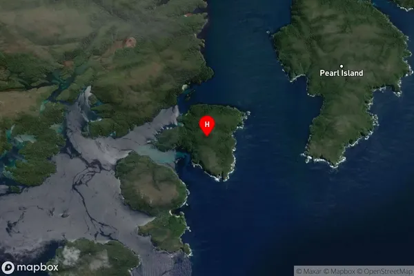
IslandAnchorage Island Suburb Map (Satellite)
Country
Main Region in AU
SouthlandAnchorage Island Region Map

Coordinates
-47.2043959,167.6739103 (latitude/longitude)Distances
The distance from Anchorage Island, , Southland District to NZ Top 10 Cities