Anatakupu Island Area, Anatakupu Island Postcode & Map in Anatakupu Island
Anatakupu Island Area, Anatakupu Island Postcode & Map in Anatakupu Island, Marlborough District, New Zealand
Anatakupu Island, Marlborough District, New Zealand
Anatakupu Island Area (estimated)
0.0 square kilometersAnatakupu Island Population (estimated)
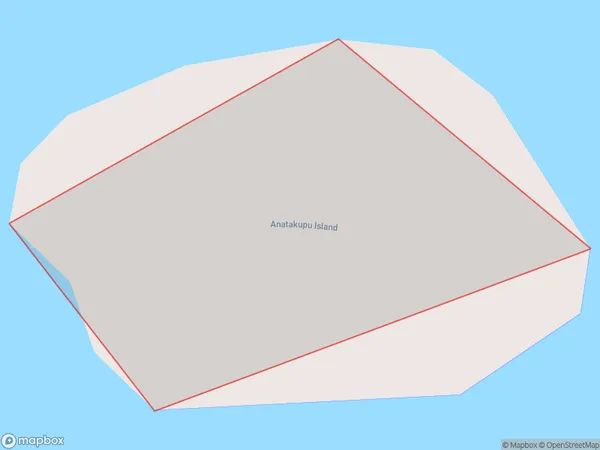
0 people live in Anatakupu Island, Marlborough, NZAnatakupu Island Suburb Area Map (Polygon)
Anatakupu Island Introduction
Anatakupu Island is a 16-hectare island in the Marlborough Sounds of New Zealand. It is a popular spot for hiking, camping, and wildlife viewing, with a variety of bird species and a population of seals. The island has a rich history and was once used as a leper colony. It is accessible by boat or a scenic walk from the nearby town of Picton.Region
0Suburb Name
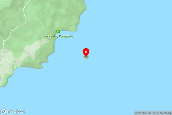
Anatakupu IslandAnatakupu Island Area Map (Street)
Local Authority
Marlborough DistrictFull Address
Anatakupu Island, Marlborough District, New ZealandAddress Type
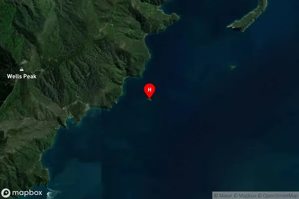
Island in Major Locality Marlborough SoundsAnatakupu Island Suburb Map (Satellite)
Country
Main Region in AU
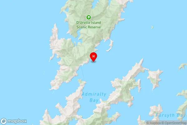
MarlboroughAnatakupu Island Region Map
Coordinates
-40.8965747,173.869151356559 (latitude/longitude)Distances
The distance from Anatakupu Island, Marlborough Sounds, Marlborough District to NZ Top 10 Cities