Parnell Area, Parnell Postcode(1052) & Map in Parnell
Parnell Area, Parnell Postcode(1052) & Map in Parnell, Auckland, New Zealand
Parnell, Auckland, New Zealand
Parnell Area (estimated)
-1.2 square kilometersParnell Population (estimated)
7799 people live in Parnell, Auckland, NZParnell Suburb Area Map (Polygon)
Not available for nowParnell Introduction
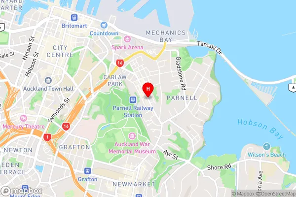
Parnell is a suburb of Auckland, New Zealand, located in the Eastern Suburbs. It is known for its vibrant arts scene, with numerous galleries and studios. The suburb also has a rich history, with several historic buildings and landmarks. Parnell is home to a diverse population and is considered one of the most cosmopolitan areas of Auckland.Region
Major City
Suburb Name
ParnellParnell Area Map (Street)
Local Authority
AucklandFull Address
Parnell, Auckland, New ZealandAddress Type
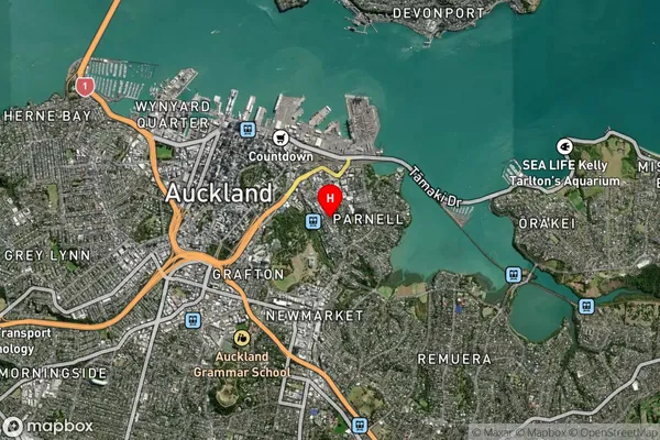
Suburb in City AucklandParnell Suburb Map (Satellite)
Country
Main Region in AU
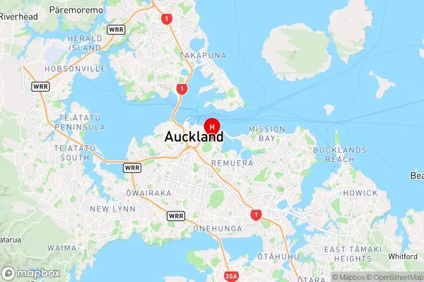
AucklandParnell Region Map
Coordinates
-36.8554763,174.7805576 (latitude/longitude)Distances
The distance from Parnell, Auckland, Auckland to NZ Top 10 Cities