Gisborne Airport Area, Gisborne Airport Postcode(4010) & Map in Gisborne Airport
Gisborne Airport Area, Gisborne Airport Postcode(4010) & Map in Gisborne Airport, Gisborne District, New Zealand
Gisborne Airport, Gisborne District, New Zealand
Gisborne Airport Postcodes
Gisborne Airport Area (estimated)
3.1 square kilometersGisborne Airport Population (estimated)
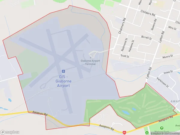
9 people live in Gisborne Airport, Gisborne, NZGisborne Airport Suburb Area Map (Polygon)
Gisborne Airport Introduction
Gisborne Airport, located in Gisborne, Gisborne Region, New Zealand, is the primary airport serving the city and the surrounding region. It is situated approximately 3 kilometers from the central business district and offers scheduled domestic and international flights to destinations such as Auckland, Wellington, and Christchurch. The airport has a modern terminal building, car rental services, and a variety of food and beverage options for passengers.Region
Major City
Suburb Name
Gisborne AirportOther Name(s)
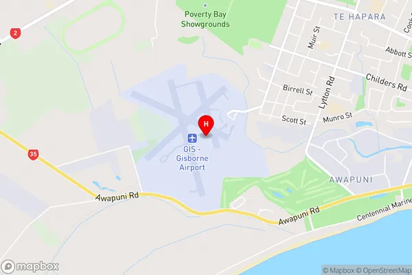
Gisborne AerodromeGisborne Airport Area Map (Street)
Local Authority
Gisborne DistrictFull Address
Gisborne Airport, Gisborne District, New ZealandAddress Type
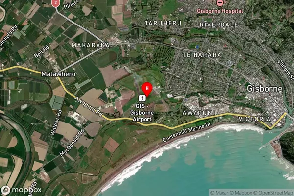
Suburb in Town GisborneGisborne Airport Suburb Map (Satellite)
Country
Main Region in AU
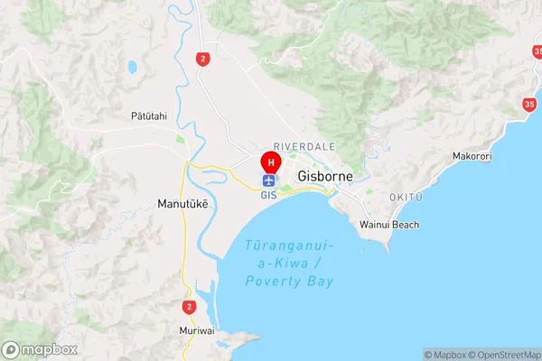
GisborneGisborne Airport Region Map
Coordinates
-38.6639081,177.979448316785 (latitude/longitude)Distances
The distance from Gisborne Airport, Gisborne, Gisborne District to NZ Top 10 Cities