Sefton Area, Sefton Postcode(7445) & Map in Sefton
Sefton Area, Sefton Postcode(7445) & Map in Sefton, Waimakariri District, New Zealand
Sefton, Waimakariri District, New Zealand
Sefton Postcodes
Sefton Area (estimated)
78.1 square kilometersSefton Population (estimated)
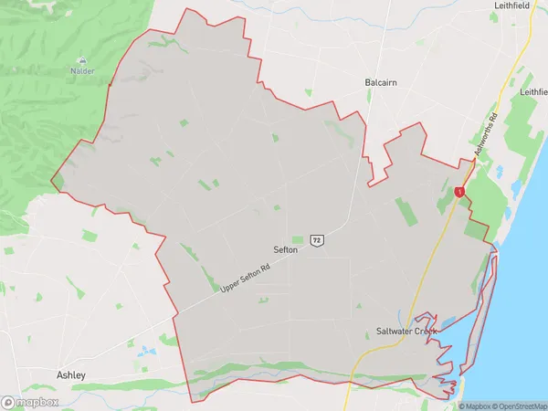
1447 people live in Sefton, Canterbury, NZSefton Suburb Area Map (Polygon)
Sefton Introduction
Sefton is a small town in Canterbury, New Zealand, located on the banks of the Hurunui River. It is known for its historic buildings, including the Sefton Hotel, and its popular annual Sefton Fair. The town has a population of around 2,000 people and is a popular destination for tourists and outdoor enthusiasts.Region
Major City
Suburb Name
SeftonOther Name(s)
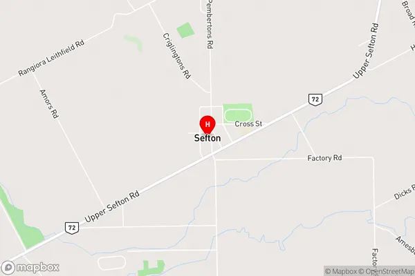
Saltwater CreekSefton Area Map (Street)
Local Authority
Waimakariri DistrictFull Address
Sefton, Waimakariri District, New ZealandAddress Type
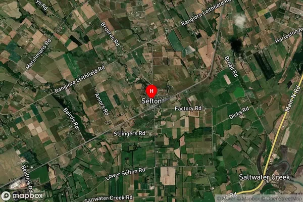
Locality in Town SeftonSefton Suburb Map (Satellite)
Country
Main Region in AU
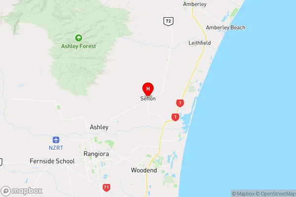
CanterburySefton Region Map
Coordinates
-43.2472392,172.6679918 (latitude/longitude)Distances
The distance from Sefton, Sefton, Waimakariri District to NZ Top 10 Cities