Awhitu Area, Awhitu Postcode(2684) & Map in Awhitu
Awhitu Area, Awhitu Postcode(2684) & Map in Awhitu, Auckland, New Zealand
Awhitu, Auckland, New Zealand
Awhitu Postcodes
Awhitu Area (estimated)
62.6 square kilometersAwhitu Population (estimated)
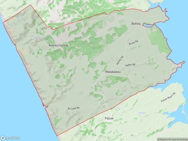
680 people live in Awhitu, Franklin, NZAwhitu Suburb Area Map (Polygon)
Awhitu Introduction
Awhitu is a small coastal town in Auckland, New Zealand. It is known for its beautiful beaches, native forest, and stunning views of the Hauraki Gulf. The town has a population of around 1,000 people and is located about 30 minutes drive from Auckland City. Awhitu also has a popular golf course and a community hall that hosts a variety of events and activities throughout the year.Region
Major City
Suburb Name
Awhitu (Maori Name: Āwhitu)Other Name(s)
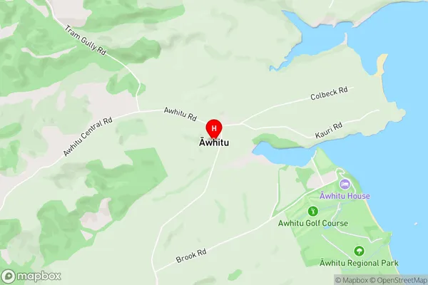
Awhitu Central, MatakawauAwhitu Area Map (Street)
Local Authority
AucklandFull Address
Awhitu, Auckland, New ZealandAddress Type
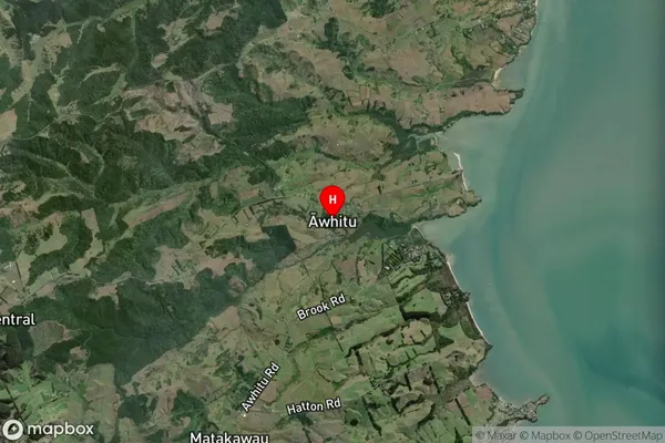
Locality in Major Locality AwhituAwhitu Suburb Map (Satellite)
Country
Main Region in AU
AucklandAwhitu Region Map

Coordinates
-37.0843949,174.6349556 (latitude/longitude)Distances
The distance from Awhitu, Awhitu, Auckland to NZ Top 10 Cities