Purakaunui Area, Purakaunui Postcode & Map in Purakaunui
Purakaunui Area, Purakaunui Postcode & Map in Purakaunui, Clutha District, New Zealand
Purakaunui, Clutha District, New Zealand
Purakaunui Area (estimated)
29.7 square kilometersPurakaunui Population (estimated)
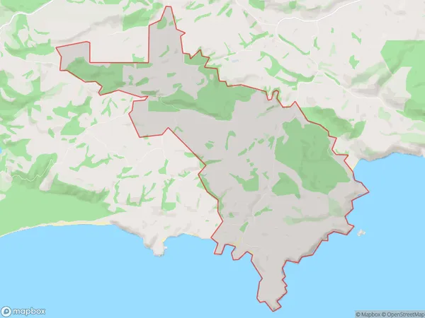
8 people live in Purakaunui, Otago, NZPurakaunui Suburb Area Map (Polygon)
Purakaunui Introduction
Purakaunui is a small rural community in the Owaka district of Otago, New Zealand. It is located on the banks of the Purakaunui River, approximately 10 kilometers south of Owaka and 120 kilometers south of Dunedin. The area is known for its scenic beauty, with rolling hills, lush forests, and a tranquil atmosphere. The community has a primary school, a post office, a small supermarket, and a few cafes and restaurants. The Purakaunui River is a popular spot for fishing and kayaking, and there are several walking and hiking trails in the surrounding area.Region
Major City
Suburb Name
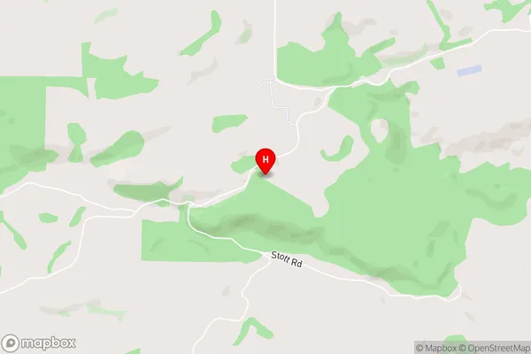
PurakaunuiPurakaunui Area Map (Street)
Local Authority
Clutha DistrictFull Address
Purakaunui, Clutha District, New ZealandAddress Type
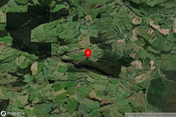
Locality in Town OwakaPurakaunui Suburb Map (Satellite)
Country
Main Region in AU
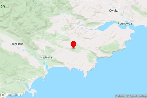
OtagoPurakaunui Region Map
Coordinates
-46.5224706,169.5497083 (latitude/longitude)Distances
The distance from Purakaunui, Owaka, Clutha District to NZ Top 10 Cities