Otaua Area, Otaua Postcode(2682) & Map in Otaua
Otaua Area, Otaua Postcode(2682) & Map in Otaua, Waikato District, New Zealand
Otaua, Waikato District, New Zealand
Otaua Postcodes
Otaua Area (estimated)
97.5 square kilometersOtaua Population (estimated)
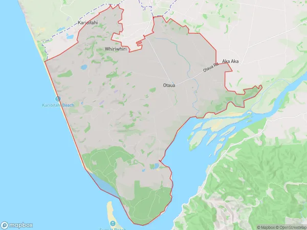
1080 people live in Otaua, Waikato, NZOtaua Suburb Area Map (Polygon)
Otaua Introduction
Otaua is a small rural town in Waikato, New Zealand. It is located on State Highway 1, 20 km south of Hamilton and 11 km north of Morrinsville. The town has a population of around 100 people and is known for its scenic surroundings and historic buildings. The Otaua River flows through the town, and there are several parks and reserves nearby. The town also has a golf course and a community hall.Region
0Suburb Name
OtauaOther Name(s)
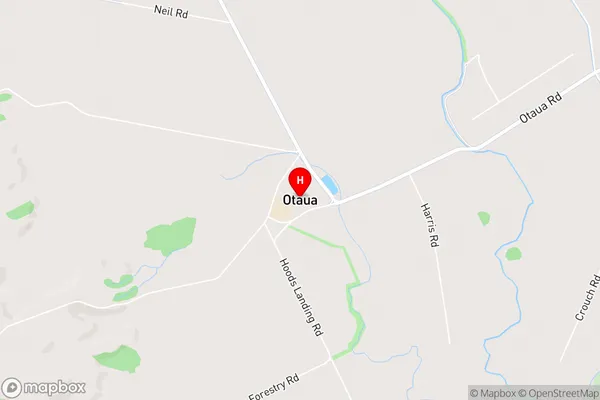
Maioro, WhiriwhiriOtaua Area Map (Street)
Local Authority
Waikato DistrictFull Address
Otaua, Waikato District, New ZealandAddress Type
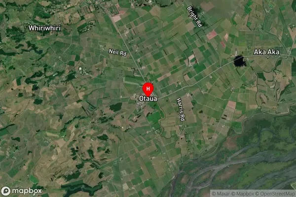
Locality in Major Locality OtauaOtaua Suburb Map (Satellite)
Country
Main Region in AU
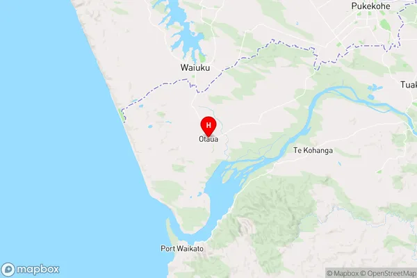
WaikatoOtaua Region Map
Coordinates
-37.3052357,174.7434895 (latitude/longitude)Distances
The distance from Otaua, Otaua, Waikato District to NZ Top 10 Cities