Ohiwa Harbour Area, Ohiwa Harbour Postcode(3120) & Map in Ohiwa Harbour
Ohiwa Harbour Area, Ohiwa Harbour Postcode(3120) & Map in Ohiwa Harbour, Whakatane District, New Zealand
Ohiwa Harbour, Whakatane District, New Zealand
Ohiwa Harbour Postcodes
Ohiwa Harbour Area (estimated)
-1.2 square kilometersOhiwa Harbour Population (estimated)
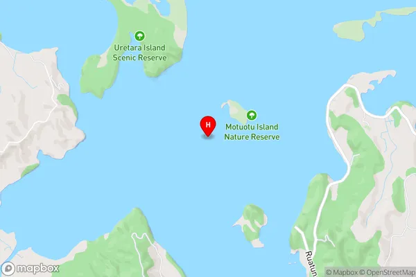
0 people live in Ohiwa Harbour, Bay of Plenty, NZOhiwa Harbour Suburb Area Map (Polygon)
Not available for nowOhiwa Harbour Introduction
Ohiwa Harbour is a sheltered harbor on the eastern coast of the Bay of Plenty, New Zealand. It is known for its clear waters, sandy beaches, and picturesque surroundings. The harbor is home to a variety of marine species, including dolphins, whales, and seals. It is also a popular recreational fishing and boating destination. The harbor is administered by the Bay of Plenty Regional Council and is a significant economic hub for the region.Region
Suburb Name
Ohiwa Harbour (Maori Name: Ōhiwa Harbour)Ohiwa Harbour Area Map (Street)
Local Authority
Whakatane DistrictFull Address
Ohiwa Harbour, Whakatane District, New ZealandAddress Type
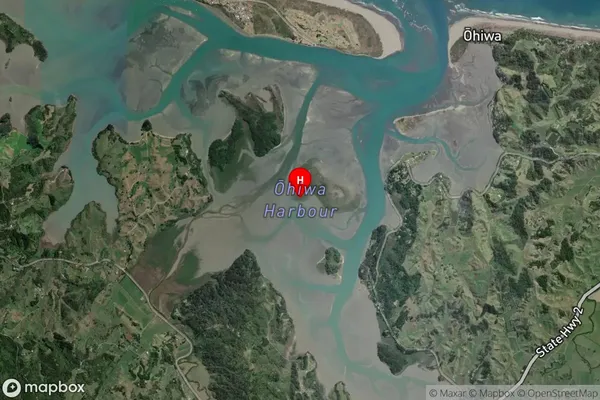
Coastal BayOhiwa Harbour Suburb Map (Satellite)
Country
Main Region in AU
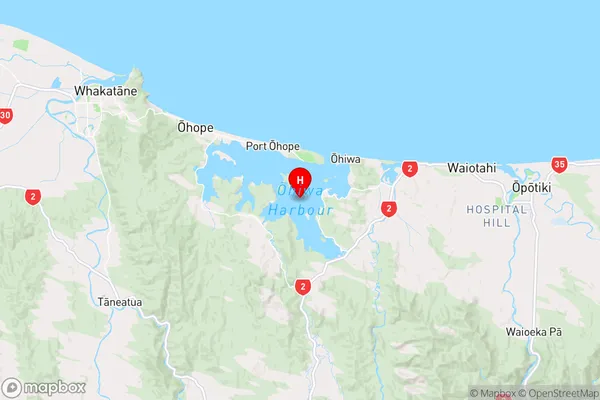
Bay of PlentyOhiwa Harbour Region Map
Coordinates
-38.01096285,177.128082070138 (latitude/longitude)Distances
The distance from Ohiwa Harbour, , Whakatane District to NZ Top 10 Cities