Cecil Peak Area, Cecil Peak Postcode(9300) & Map in Cecil Peak
Cecil Peak Area, Cecil Peak Postcode(9300) & Map in Cecil Peak, Queenstown-Lakes District, New Zealand
Cecil Peak, Queenstown-Lakes District, New Zealand
Cecil Peak Postcodes
Cecil Peak Area (estimated)
165.6 square kilometersCecil Peak Population (estimated)
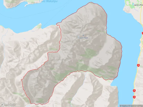
0 people live in Cecil Peak, Otago, NZCecil Peak Suburb Area Map (Polygon)
Cecil Peak Introduction
Cecil Peak is a mountain located in the Fiordland National Park in Te Anau, Otago, New Zealand. It is the second-highest mountain in New Zealand, with a height of 2,797 meters (9,194 feet). The mountain is named after Cecil John Rhodes, a prominent New Zealand politician and businessman. Cecil Peak is a popular hiking and climbing destination, with several trails leading to the summit. The views from the top are breathtaking, with panoramic views of the surrounding landscape, including the Fiordland National Park, Lake Te Anau, and the Southern Alps.Region
Major City
Suburb Name
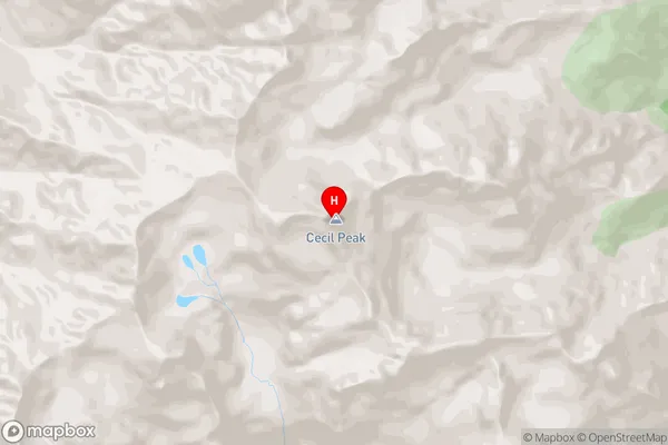
Cecil PeakCecil Peak Area Map (Street)
Local Authority
Queenstown-Lakes DistrictFull Address
Cecil Peak, Queenstown-Lakes District, New ZealandAddress Type
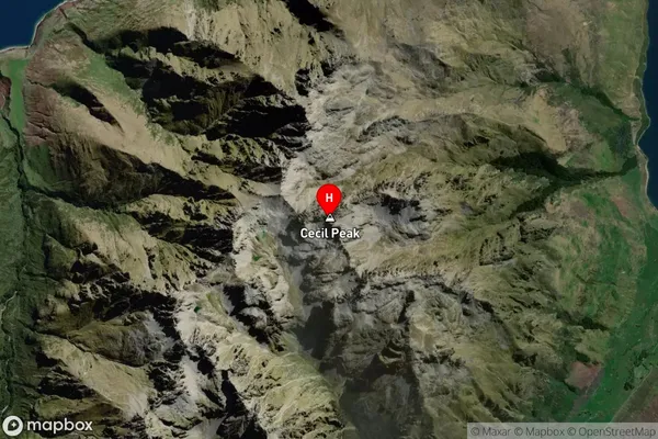
Locality in Town Te AnauCecil Peak Suburb Map (Satellite)
Country
Main Region in AU
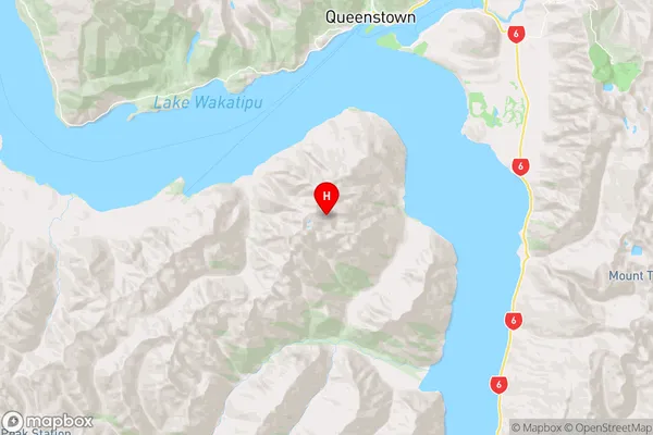
OtagoCecil Peak Region Map
Coordinates
-45.1216106,168.6331757 (latitude/longitude)Distances
The distance from Cecil Peak, Te Anau, Queenstown-Lakes District to NZ Top 10 Cities