Kingston Area, Kingston Postcode(9748) & Map in Kingston, Queenstown-Lakes District
Kingston Area, Kingston Postcode(9748) & Map in Kingston, Queenstown-Lakes District, Southland District, New Zealand
Kingston, Queenstown-Lakes District, Southland District, New Zealand
Kingston Postcodes
Kingston Area (estimated)
593.0 square kilometersKingston Population (estimated)
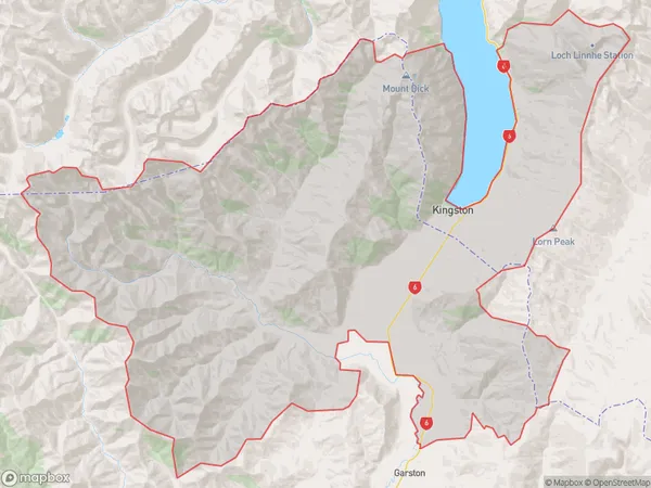
458 people live in Kingston, Otago, NZKingston Suburb Area Map (Polygon)
Kingston Introduction
Kingston is a small town in Otago, New Zealand, located on the southern shore of Lake Wakatipu. It is known for its historic buildings, including the Kingston Castle, and its scenic surroundings, including the Queenstown Hill and the Remarkables Mountains. The town has a population of around 4,000 people and is a popular tourist destination.Region
Major City
Suburb Name
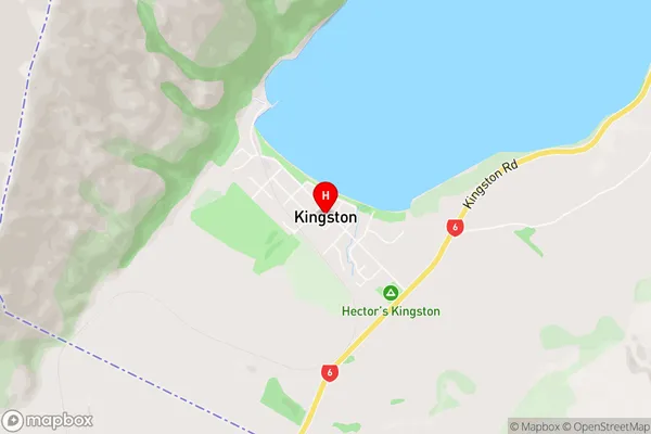
KingstonKingston Area Map (Street)
Local Authority
Queenstown-Lakes District, Southland DistrictFull Address
Kingston, Queenstown-Lakes District, Southland District, New ZealandAddress Type
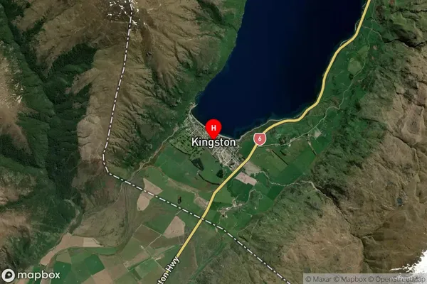
Locality in Major Locality KingstonKingston Suburb Map (Satellite)
Country
Main Region in AU
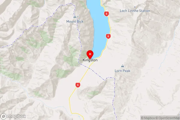
OtagoKingston Region Map
Coordinates
-45.3343708,168.7175147 (latitude/longitude)Distances
The distance from Kingston, Kingston, Queenstown-Lakes District, Southland District to NZ Top 10 Cities