Mangonui Area, Mangonui Postcode(0494) & Map in Mangonui
Mangonui Area, Mangonui Postcode(0494) & Map in Mangonui, Far North District, New Zealand
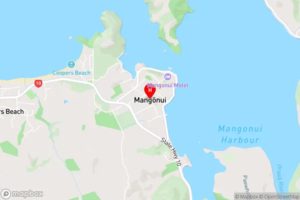
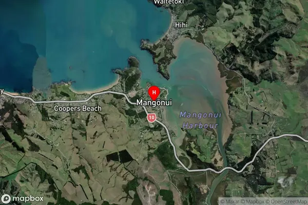
Mangonui, Far North District, New Zealand
Mangonui Area (estimated)
-1.2 square kilometersMangonui Population (estimated)
1290 people live in Mangonui, Te Hiku Community, NZMangonui Suburb Area Map (Polygon)
Not available for nowMangonui Introduction
Mangonui is a small town on the northern coast of New Zealand's North Island. It is known for its long, sandy beach, which is a popular spot for swimming, surfing, and fishing. The town also has a historic stone lighthouse, which was built in 1878 and offers panoramic views of the surrounding area. Mangonui is surrounded by beautiful natural scenery, including the Mangonui Forest Park, which is a conservation area with walking tracks and a variety of plant and animal species. The town has a population of around 1,000 people and is located about 120 kilometers north of Whangarei.Region
Major City
Suburb Name
Mangonui (Maori Name: Mangōnui)Other Name(s)
Akatere, Back River, Kenana, Kohumaru, Oruaiti, ParoanuiMangonui Area Map (Street)
Local Authority
Far North DistrictFull Address
Mangonui, Far North District, New ZealandAddress Type
Suburb in Town MangonuiMangonui Suburb Map (Satellite)
Country
Main Region in AU
NorthlandMangonui Region Map

Coordinates
-34.992899,173.5323214 (latitude/longitude)Distances
The distance from Mangonui, Mangonui, Far North District to NZ Top 10 Cities