Inchbonnie Area, Inchbonnie Postcode & Map in Inchbonnie
Inchbonnie Area, Inchbonnie Postcode & Map in Inchbonnie, Grey District, New Zealand
Inchbonnie, Grey District, New Zealand
Inchbonnie Area (estimated)
454.8 square kilometersInchbonnie Population (estimated)
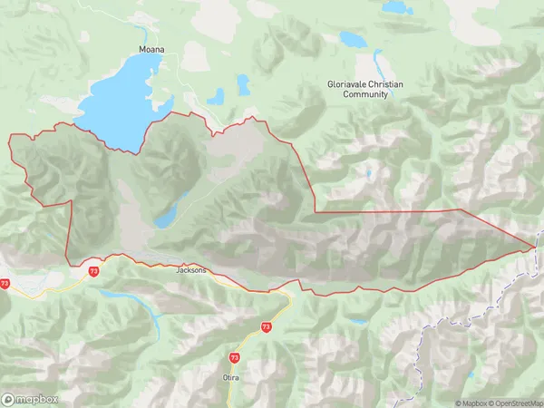
141 people live in Inchbonnie, West Coast, NZInchbonnie Suburb Area Map (Polygon)
Inchbonnie Introduction
Inchbonnie is a small rural community on the West Coast of New Zealand's South Island. It is located in the Grey District and is known for its scenic surroundings, including the Inchbonnie Forest Park. The community has a population of around 100 people and is home to a primary school, a post office, and a small supermarket. The area is popular with outdoor enthusiasts, with hiking, mountain biking, and fishing being popular activities.Region
0Suburb Name
InchbonnieOther Name(s)
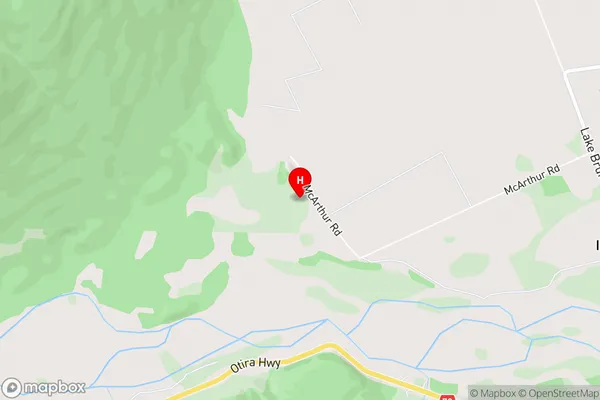
Inch Bonnie Township, Mitchells, Poerua, RotomanuInchbonnie Area Map (Street)
Local Authority
Grey DistrictFull Address
Inchbonnie, Grey District, New ZealandAddress Type
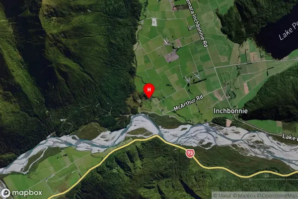
Locality in Major Locality InchbonnieInchbonnie Suburb Map (Satellite)
Country
Main Region in AU
West CoastInchbonnie Region Map

Coordinates
-42.7245,171.4441 (latitude/longitude)Distances
The distance from Inchbonnie, Inchbonnie, Grey District to NZ Top 10 Cities