Gonville Area, Gonville Postcode(4541) & Map in Gonville
Gonville Area, Gonville Postcode(4541) & Map in Gonville, Whanganui District, New Zealand
Gonville, Whanganui District, New Zealand
Gonville Area (estimated)
5.5 square kilometersGonville Population (estimated)
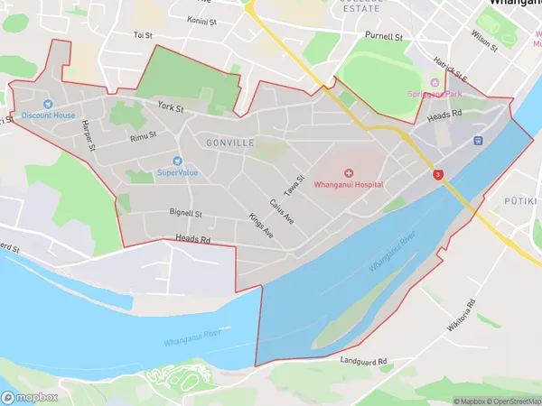
6200 people live in Gonville, Whanganui, NZGonville Suburb Area Map (Polygon)
Gonville Introduction
Gonville is a small town located in the Manawatu-Wanganui region of New Zealand. It is situated on the banks of the Wanganui River and is known for its historic buildings and scenic surroundings. The town has a population of around 500 people and is a popular destination for tourists and outdoor enthusiasts.Region
Major City
Suburb Name
GonvilleOther Name(s)
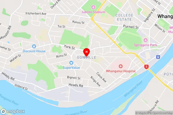
Balgownie, Wanganui CentralGonville Area Map (Street)
Local Authority
Whanganui DistrictFull Address
Gonville, Whanganui District, New ZealandAddress Type
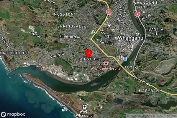
Suburb in Town WhanganuiGonville Suburb Map (Satellite)
Country
Main Region in AU
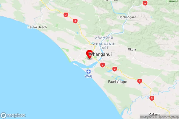
Manawatu-WanganuiGonville Region Map
Coordinates
-39.9419197,175.027059 (latitude/longitude)Distances
The distance from Gonville, Whanganui, Whanganui District to NZ Top 10 Cities