Cattle Flat Area, Cattle Flat Postcode(9300) & Map in Cattle Flat
Cattle Flat Area, Cattle Flat Postcode(9300) & Map in Cattle Flat, Queenstown-Lakes District, New Zealand
Cattle Flat, Queenstown-Lakes District, New Zealand
Cattle Flat Postcodes
Cattle Flat Area (estimated)
356.5 square kilometersCattle Flat Population (estimated)
2 people live in Cattle Flat, Otago, NZCattle Flat Suburb Area Map (Polygon)
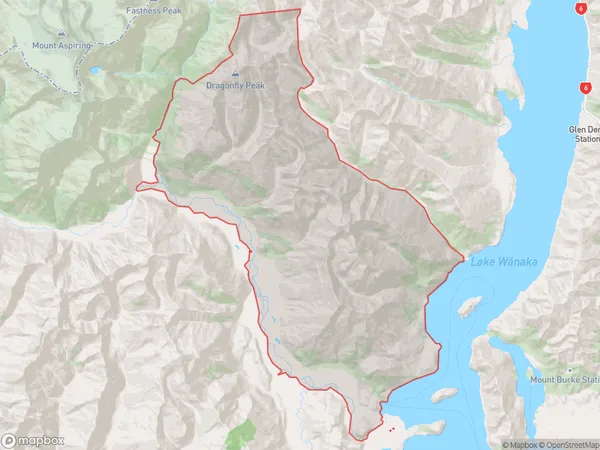
Cattle Flat Introduction
Cattle Flat is a small rural community located in the Otago region of New Zealand, known for its stunning natural scenery and peaceful atmosphere. It is situated on the banks of the Clutha River, approximately 10 kilometers south of Wanaka and 120 kilometers north of Dunedin. The area is popular with outdoor enthusiasts and nature lovers, who enjoy activities such as hiking, skiing, fishing, and kayaking. Cattle Flat also has a historic church and a small community hall, and the local school is part of the Wanaka Area School.Region
Major City
Suburb Name
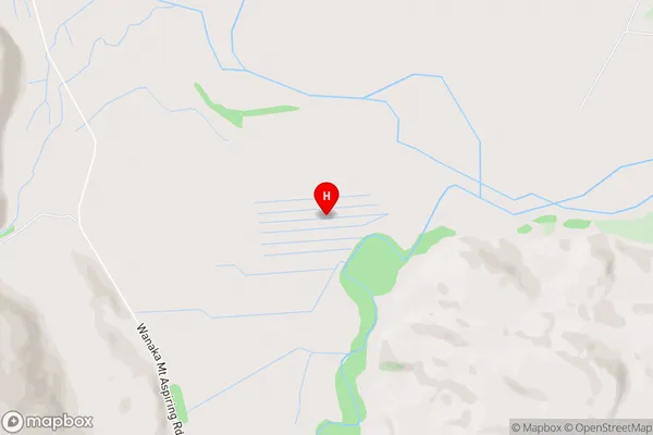
Cattle FlatCattle Flat Area Map (Street)
Local Authority
Queenstown-Lakes DistrictFull Address
Cattle Flat, Queenstown-Lakes District, New ZealandAddress Type
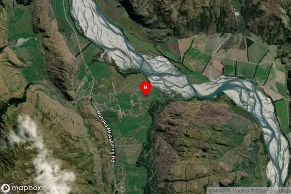
Locality in Town WanakaCattle Flat Suburb Map (Satellite)
Country
Main Region in AU
OtagoCattle Flat Region Map

Coordinates
-44.605249,168.93453 (latitude/longitude)Distances
The distance from Cattle Flat, Wanaka, Queenstown-Lakes District to NZ Top 10 Cities