Abel Tasman National Park Area, Abel Tasman National Park Postcode & Map in Abel Tasman National Park
Abel Tasman National Park Area, Abel Tasman National Park Postcode & Map in Abel Tasman National Park, Tasman District, New Zealand
Abel Tasman National Park, Tasman District, New Zealand
Abel Tasman National Park Area (estimated)
-1.2 square kilometersAbel Tasman National Park Population (estimated)
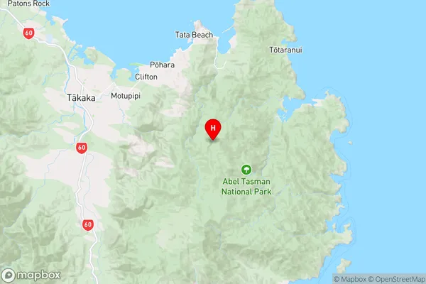
62 people live in Abel Tasman National Park, Tasman, NZAbel Tasman National Park Suburb Area Map (Polygon)
Not available for nowAbel Tasman National Park Introduction
Abel Tasman National Park is a national park in the South Island of New Zealand, named after the Dutch explorer Abel Tasman. It is located on the Golden Bay coast and is known for its stunning coastal scenery, including rugged cliffs, sandy beaches, and crystal-clear waters. The park is home to a diverse range of wildlife, including seals, dolphins, and kelp gulls. Visitors can explore the park on foot, by boat, or on a scenic helicopter flight. The park also offers a range of hiking trails, including the popular Abel Tasman Track, which follows the coastline and provides stunning views of the park's natural beauty.00Suburb Name
Abel Tasman National ParkOther Name(s)
Tarakohe, TotaranuiAbel Tasman National Park Area Map (Street)
Local Authority
Tasman DistrictFull Address
Abel Tasman National Park, Tasman District, New ZealandAddress Type
Conservation Land in Major Locality Abel Tasman National ParkAbel Tasman National Park Suburb Map (Satellite)

Country
Main Region in AU
TasmanAbel Tasman National Park Region Map
Coordinates
-40.8898347,172.933859137162 (latitude/longitude)Distances
The distance from Abel Tasman National Park, Abel Tasman National Park, Tasman District to NZ Top 10 Cities