Oamaru North Area, Oamaru North Postcode(9400) & Map in Oamaru North
Oamaru North Area, Oamaru North Postcode(9400) & Map in Oamaru North, Waitaki District,
Oamaru North, Waitaki District,
Oamaru North Postcodes
Oamaru North Area (estimated)
14.4 square kilometersOamaru North Population (estimated)
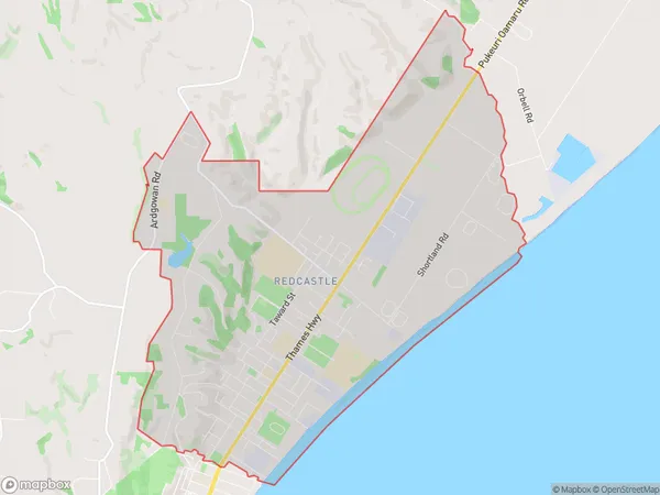
5638 people live in Oamaru North, Oamaru, NZOamaru North Suburb Area Map (Polygon)
Oamaru North Introduction
Oamaru North is a suburb of Oamaru, New Zealand, located on the southern bank of the Waitaki River. It is known for its historic buildings, including the Oamaru Blue Stoneware Factory and the Oamaru Stone Quarry. The suburb has a strong Scottish heritage and is home to the Oamaru Scottish Society. It is also home to the Oamaru North Primary School and the Oamaru North Football Club.Region
Major City
Suburb Name
Oamaru NorthOther Name(s)
Buckleys Hill, Casa Nova, Eveline, Fernbrook, Meadowbank, Oamaru Central, RedcastleOamaru North Area Map (Street)
Local Authority
Waitaki DistrictFull Address
Oamaru North, Waitaki District,Address Type
Suburb in Town OamaruOamaru North Suburb Map (Satellite)
Country
Main Region in AU
OtagoOamaru North Region Map
Coordinates
0,0 (latitude/longitude)Distances
The distance from Oamaru North, Oamaru, Waitaki District to NZ Top 10 Cities