Shannon Area, Shannon Postcode(4821) & Map in Shannon
Shannon Area, Shannon Postcode(4821) & Map in Shannon, Horowhenua District, New Zealand
Shannon, Horowhenua District, New Zealand
Shannon Area (estimated)
135.0 square kilometersShannon Population (estimated)
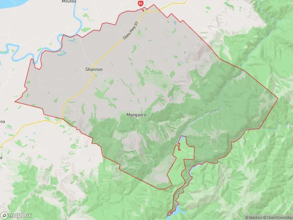
2124 people live in Shannon, Manawatu-Wanganui, NZShannon Suburb Area Map (Polygon)
Shannon Introduction
Shannon is a small town in the Manawatu-Wanganui region of New Zealand. It is known for its scenic surroundings, including the Shannon River and the surrounding hills. The town has a population of around 5,000 people and is a popular destination for outdoor activities such as hiking, cycling, and fishing. Shannon also has a number of historic buildings and landmarks, including the Shannon Airport and the Shannon Heritage Centre.Region
Major City
Suburb Name
ShannonOther Name(s)
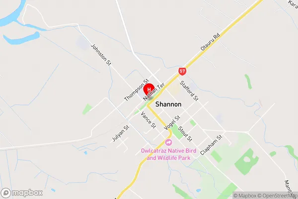
Makerua, MangaoreShannon Area Map (Street)
Local Authority
Horowhenua DistrictFull Address
Shannon, Horowhenua District, New ZealandAddress Type
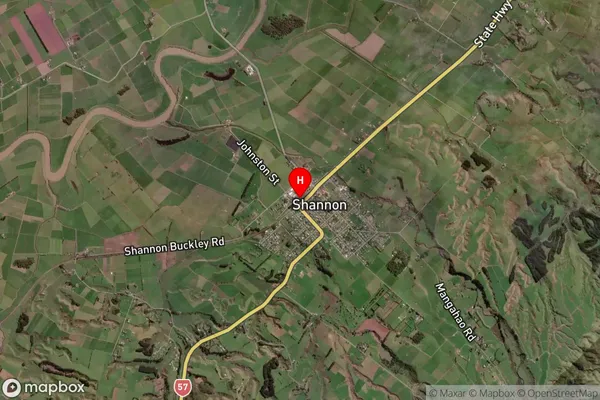
Suburb in Town ShannonShannon Suburb Map (Satellite)
Country
Main Region in AU
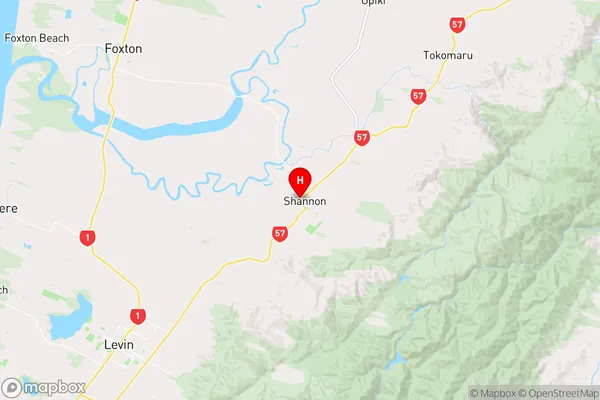
Manawatu-WanganuiShannon Region Map
Coordinates
-40.5464788,175.4110375 (latitude/longitude)Distances
The distance from Shannon, Shannon, Horowhenua District to NZ Top 10 Cities