Glenburn Area, Glenburn Postcode(5713) & Map in Glenburn, Carterton District
Glenburn Area, Glenburn Postcode(5713) & Map in Glenburn, Carterton District, South Wairarapa District, New Zealand
Glenburn, Carterton District, South Wairarapa District, New Zealand
Glenburn Postcodes
Glenburn Area (estimated)
80.9 square kilometersGlenburn Population (estimated)
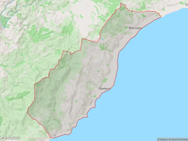
23 people live in Glenburn, Wellington, NZGlenburn Suburb Area Map (Polygon)
Glenburn Introduction
Glenburn is a small rural town located in the Wairarapa region of New Zealand's North Island. It is known for its scenic surroundings, including the Glenburn Station, which is a popular stop for tourists on the train journey between Wellington and Masterton. The town also has a primary school, a post office, and a small supermarket.Region
Major City
Suburb Name
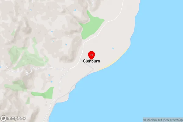
GlenburnGlenburn Area Map (Street)
Local Authority
Carterton District, South Wairarapa DistrictFull Address
Glenburn, Carterton District, South Wairarapa District, New ZealandAddress Type
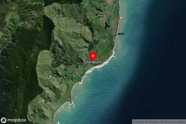
Locality in Town MastertonGlenburn Suburb Map (Satellite)
Country
Main Region in AU
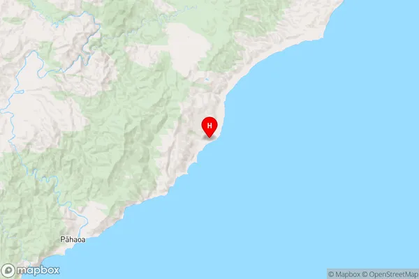
WellingtonGlenburn Region Map
Coordinates
-41.3201763,175.8519758 (latitude/longitude)Distances
The distance from Glenburn, Masterton, Carterton District, South Wairarapa District to NZ Top 10 Cities