Wanstead Area, Wanstead Postcode(4282) & Map in Wanstead
Wanstead Area, Wanstead Postcode(4282) & Map in Wanstead, Central Hawke's Bay District, New Zealand
Wanstead, Central Hawke's Bay District, New Zealand
Wanstead Postcodes
Wanstead Area (estimated)
187.7 square kilometersWanstead Population (estimated)
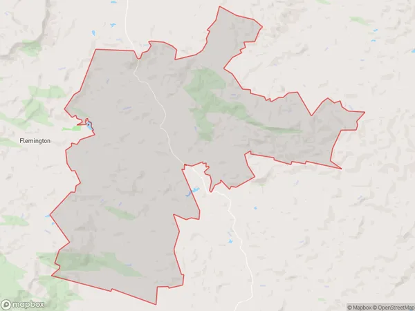
164 people live in Wanstead, Hawke's Bay, NZWanstead Suburb Area Map (Polygon)
Wanstead Introduction
Wanstead is a small rural community in Waipukurau, Hawke's Bay, New Zealand. It is known for its beautiful countryside, historic buildings, and friendly locals. The area is popular with tourists and has a variety of outdoor activities to enjoy, including hiking, cycling, and fishing. Wanstead also has a primary school, a post office, and a small supermarket.Region
Major City
Suburb Name
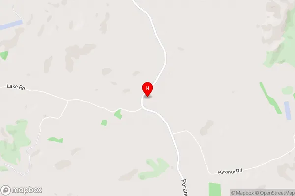
WansteadWanstead Area Map (Street)
Local Authority
Central Hawke's Bay DistrictFull Address
Wanstead, Central Hawke's Bay District, New ZealandAddress Type
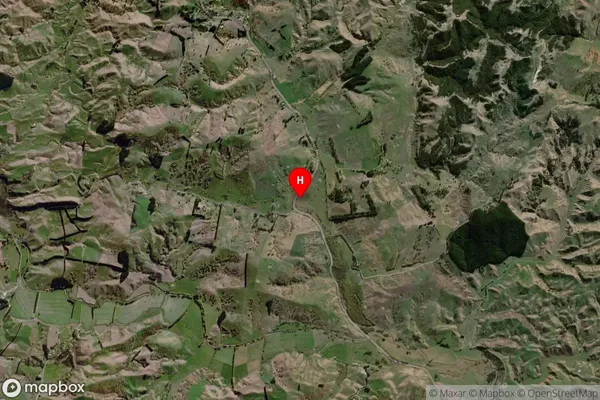
Locality in Town WaipukurauWanstead Suburb Map (Satellite)
Country
Main Region in AU
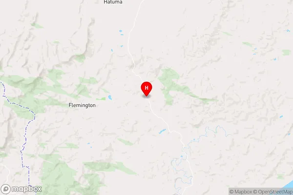
Hawke's BayWanstead Region Map
Coordinates
-40.1400394,176.5356588 (latitude/longitude)Distances
The distance from Wanstead, Waipukurau, Central Hawke's Bay District to NZ Top 10 Cities