Otumoetai Area, Otumoetai Postcode(3110) & Map in Otumoetai
Otumoetai Area, Otumoetai Postcode(3110) & Map in Otumoetai, Tauranga City, New Zealand
Otumoetai, Tauranga City, New Zealand
Otumoetai Area (estimated)
4.1 square kilometersOtumoetai Population (estimated)
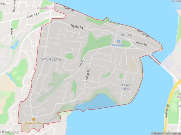
8787 people live in Otumoetai, Tauranga, NZOtumoetai Suburb Area Map (Polygon)
Otumoetai Introduction
Otumoetai is a suburb of Tauranga in the Bay of Plenty region of New Zealand. It is located on the western side of the city and is known for its beautiful beaches, parks, and recreational facilities. The suburb has a population of around 20,000 people and is home to a number of popular attractions, including the Otumoetai Domain, a historic park with a variety of trees and plants.Region
Major City
Suburb Name
Otumoetai (Maori Name: Otūmoetai)Other Name(s)
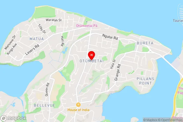
Bureta, Pilans PointOtumoetai Area Map (Street)
Local Authority
Tauranga CityFull Address
Otumoetai, Tauranga City, New ZealandAddress Type
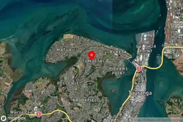
Suburb in City TaurangaOtumoetai Suburb Map (Satellite)
Country
Main Region in AU
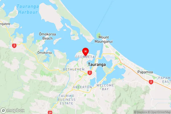
Bay of PlentyOtumoetai Region Map
Coordinates
-37.6717267,176.1402406 (latitude/longitude)Distances
The distance from Otumoetai, Tauranga, Tauranga City to NZ Top 10 Cities