Lake Waipapa Area, Lake Waipapa Postcode(3330) & Map in Lake Waipapa, Otorohanga District, South Waikato District
Lake Waipapa Area, Lake Waipapa Postcode(3330) & Map in Lake Waipapa, Otorohanga District, South Waikato District, Taupo District, New Zealand
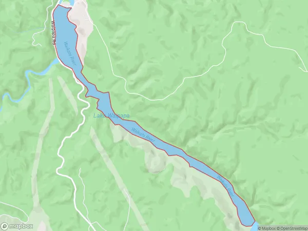
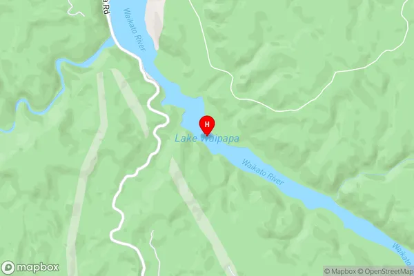
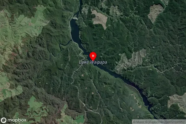
Lake Waipapa, Otorohanga District, South Waikato District, Taupo District, New Zealand
Lake Waipapa Postcodes
Lake Waipapa Area (estimated)
1.4 square kilometersLake Waipapa Population (estimated)
0 people live in Lake Waipapa, Waikato, NZLake Waipapa Suburb Area Map (Polygon)
Lake Waipapa Introduction
Waipapa, also known as Lake Waikato, is a large lake in Waikato, New Zealand. It is the largest lake in the North Island and the second-largest lake in New Zealand by surface area. The lake is surrounded by stunning countryside and is a popular destination for fishing, boating, and hiking. It is also home to a variety of wildlife, including birds, reptiles, and mammals.Region
Suburb Name
Lake WaipapaLake Waipapa Area Map (Street)
Local Authority
Otorohanga District, South Waikato District, Taupo District (Maori Name: Ōtorohanga District, South Waikato District, Taupo District)Full Address
Lake Waipapa, Otorohanga District, South Waikato District, Taupo District, New ZealandAddress Type
LakeLake Waipapa Suburb Map (Satellite)
Country
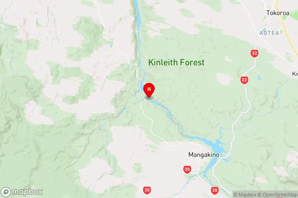
Main Region in AU
WaikatoLake Waipapa Region Map
Coordinates
-38.3106981,175.692496415921 (latitude/longitude)Distances
The distance from Lake Waipapa, , Otorohanga District, South Waikato District, Taupo District to NZ Top 10 Cities