Furneaux Area, Furneaux Postcode & Map in Furneaux
Furneaux Area, Furneaux Postcode & Map in Furneaux, Marlborough District,
Furneaux, Marlborough District,
Furneaux Area (estimated)
5.0 square kilometersFurneaux Population (estimated)
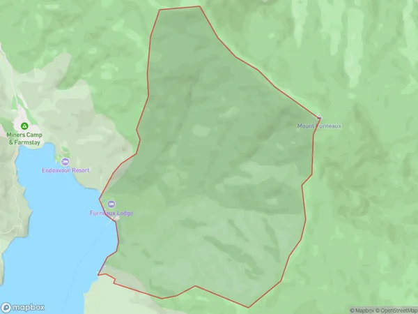
5 people live in Furneaux, , NZFurneaux Suburb Area Map (Polygon)
Furneaux Introduction
Furneaux is a small settlement in the Marlborough Sounds, New Zealand. It is located on the southern side of the Sounds and is accessible by boat or ferry. The settlement has a population of around 100 people and is known for its scenic views, peaceful atmosphere, and fishing and boating opportunities. Furneaux also has a small museum and a community hall that hosts various events and activities throughout the year.0Suburb Name
FurneauxOther Name(s)
EndeavourFurneaux Area Map (Street)
Local Authority
Marlborough DistrictFull Address
Furneaux, Marlborough District,Address Type
Locality in Major Locality Marlborough SoundsFurneaux Suburb Map (Satellite)
Country
Main Region in AU
Furneaux Region Map
Coordinates
0,0 (latitude/longitude)Distances
The distance from Furneaux, Marlborough Sounds, Marlborough District to NZ Top 10 Cities