Mourea Area, Mourea Postcode(3010) & Map in Mourea
Mourea Area, Mourea Postcode(3010) & Map in Mourea, Rotorua District, New Zealand
Mourea, Rotorua District, New Zealand
Mourea Postcodes
Mourea Area (estimated)
1.1 square kilometersMourea Population (estimated)
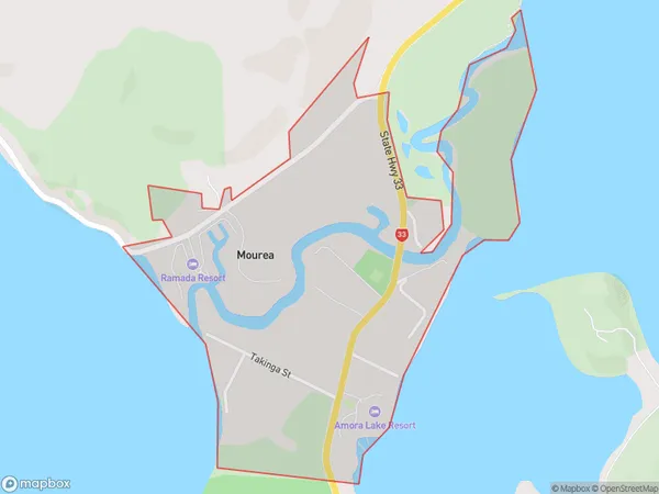
287 people live in Mourea, Bay of Plenty, NZMourea Suburb Area Map (Polygon)
Mourea Introduction
Mourea is a small town on the western coast of the Bay of Plenty in New Zealand. It is known for its scenic coastline, volcanic landscapes, and hot springs. The town has a population of around 2,000 people and is a popular tourist destination. Mourea also has a significant Maori population and is home to the Te Papa o Te Hunga-a-Tara Museum, which showcases the region's cultural heritage.Region
Major City
Suburb Name
MoureaOther Name(s)
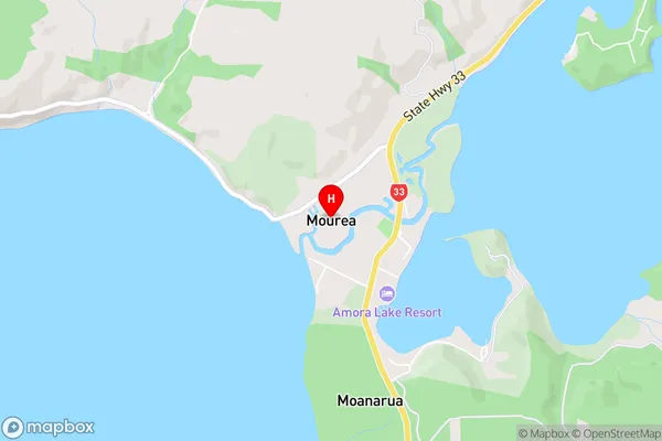
RotoitiMourea Area Map (Street)
Local Authority
Rotorua DistrictFull Address
Mourea, Rotorua District, New ZealandAddress Type
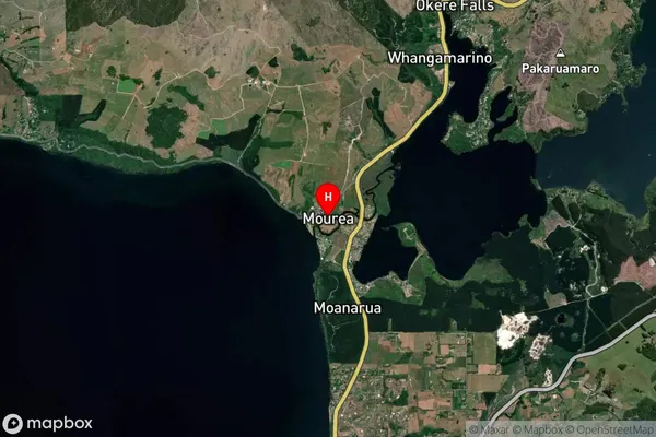
Suburb in City RotoruaMourea Suburb Map (Satellite)
Country
Main Region in AU
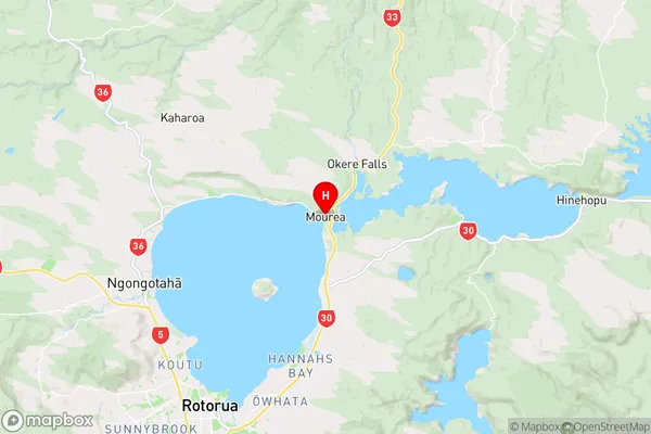
Bay of PlentyMourea Region Map
Coordinates
-38.0442035,176.3261444 (latitude/longitude)Distances
The distance from Mourea, Rotorua, Rotorua District to NZ Top 10 Cities