Island Hills Area, Island Hills Postcode & Map in Island Hills
Island Hills Area, Island Hills Postcode & Map in Island Hills, Hurunui District, New Zealand
Island Hills, Hurunui District, New Zealand
Island Hills Area (estimated)
-1.2 square kilometersIsland Hills Population (estimated)
13 people live in Island Hills, Canterbury, NZIsland Hills Suburb Area Map (Polygon)
Not available for nowIsland Hills Introduction
Island Hills is a residential area in Hanmer Springs, Canterbury, New Zealand. It is known for its scenic views, hot springs, and outdoor activities such as hiking, skiing, and mountain biking. The area has a variety of housing options, from luxury homes to affordable apartments, and is popular with tourists and locals alike.Region
Major City
Suburb Name
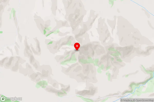
Island HillsIsland Hills Area Map (Street)

Local Authority
Hurunui DistrictFull Address
Island Hills, Hurunui District, New ZealandAddress Type
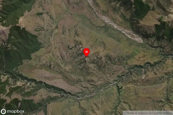
Locality in Town Hanmer SpringsIsland Hills Suburb Map (Satellite)

Country
Main Region in AU
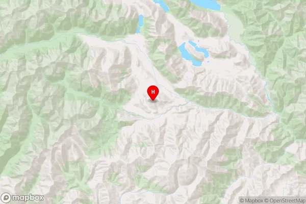
CanterburyIsland Hills Region Map

Coordinates
-42.813124,172.185821 (latitude/longitude)Distances
The distance from Island Hills, Hanmer Springs, Hurunui District to NZ Top 10 Cities