Waihi Area, Waihi Postcode(3610) & Map in Waihi
Waihi Area, Waihi Postcode(3610) & Map in Waihi, Hauraki District, New Zealand
Waihi, Hauraki District, New Zealand
Waihi Area (estimated)
199.8 square kilometersWaihi Population (estimated)
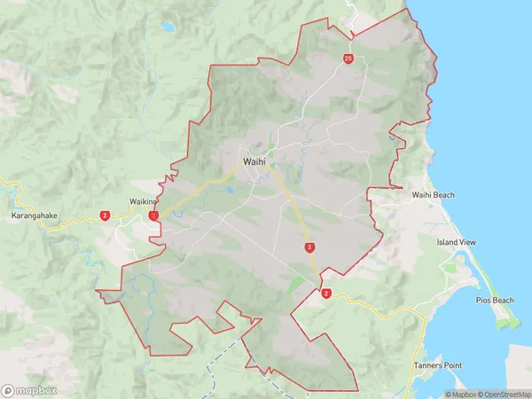
7309 people live in Waihi, Waikato, NZWaihi Suburb Area Map (Polygon)
Waihi Introduction
Waihi is a small town in the Waikato region of New Zealand, known for its rich gold mining history and stunning natural surroundings. It is located on the banks of the Ohinemuri River and is surrounded by picturesque hills and forests. The town has a population of around 3,000 people and is a popular destination for tourists and outdoor enthusiasts.Region
Major City
Suburb Name
WaihiOther Name(s)
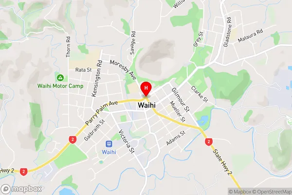
Golden Cross, Golden Valley, Waimata, Waitawheta, WaitekauriWaihi Area Map (Street)
Local Authority
Hauraki DistrictFull Address
Waihi, Hauraki District, New ZealandAddress Type
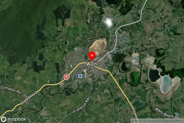
Suburb in Town WaihiWaihi Suburb Map (Satellite)
Country
Main Region in AU
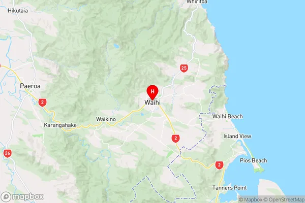
WaikatoWaihi Region Map
Coordinates
-37.391462,175.8403538 (latitude/longitude)Distances
The distance from Waihi, Waihi, Hauraki District to NZ Top 10 Cities