Freemans Bay Area, Freemans Bay Postcode(1011) & Map in Freemans Bay
Freemans Bay Area, Freemans Bay Postcode(1011) & Map in Freemans Bay, Auckland, New Zealand
Freemans Bay, Auckland, New Zealand
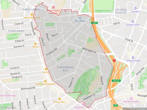
Freemans Bay Area (estimated)
1.1 square kilometersFreemans Bay Population (estimated)
4288 people live in Freemans Bay, Auckland, NZFreemans Bay Suburb Area Map (Polygon)
Freemans Bay Introduction
Freemans Bay is a suburb of Auckland, New Zealand, located in the Eastern Suburbs. It is known for its vibrant nightlife, with many bars and restaurants. The area is also home to the historic Freemans Bay Cemetery, where many notable New Zealanders are buried. Freemans Bay is well-connected to the city center by public transport, and it is within walking distance of the Auckland University of Technology.Region
Major City
Suburb Name
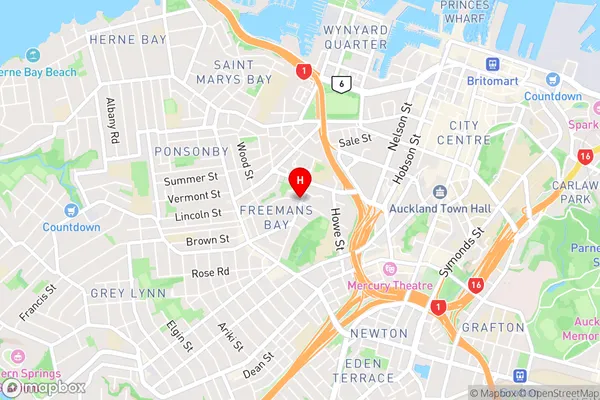
Freemans BayFreemans Bay Area Map (Street)
Local Authority
AucklandFull Address
Freemans Bay, Auckland, New ZealandAddress Type
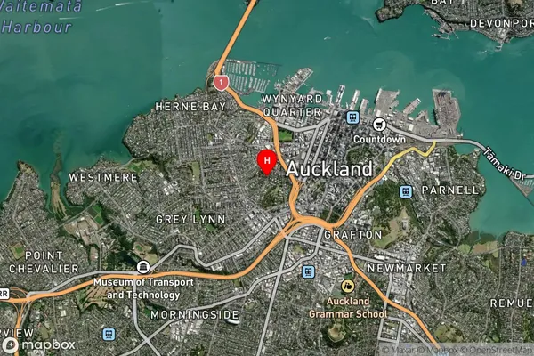
Suburb in City AucklandFreemans Bay Suburb Map (Satellite)
Country
Main Region in AU
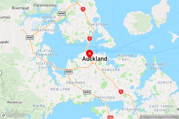
AucklandFreemans Bay Region Map
Coordinates
-36.8535101,174.7511826 (latitude/longitude)Distances
The distance from Freemans Bay, Auckland, Auckland to NZ Top 10 Cities