Ohakuri Area, Ohakuri Postcode(3330) & Map in Ohakuri
Ohakuri Area, Ohakuri Postcode(3330) & Map in Ohakuri, Taupo District, New Zealand
Ohakuri, Taupo District, New Zealand
Ohakuri Postcodes
Ohakuri Area (estimated)
155.3 square kilometersOhakuri Population (estimated)
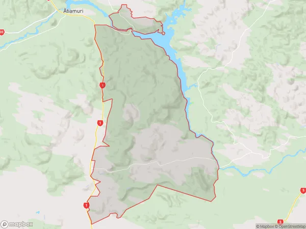
166 people live in Ohakuri, Waikato, NZOhakuri Suburb Area Map (Polygon)
Ohakuri Introduction
Ohakuri is a small rural community in Reporoa, Waikato, New Zealand. It is located on State Highway 2, 12 km south of Morrinsville and 22 km north of Hamilton. The area has a rich history of farming and forestry, and the Ohakuri River flows through it. The community has a primary school, a post office, and a small supermarket. The surrounding area is popular for outdoor activities such as hiking, cycling, and fishing, and the town is surrounded by beautiful countryside.Region
0Suburb Name
OhakuriOther Name(s)
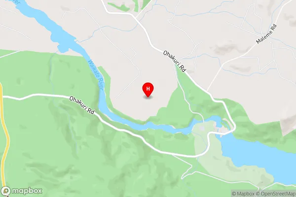
Maroa, Orakei KorakoOhakuri Area Map (Street)
Local Authority
Taupo DistrictFull Address
Ohakuri, Taupo District, New ZealandAddress Type
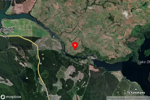
Locality in Town ReporoaOhakuri Suburb Map (Satellite)
Country
Main Region in AU
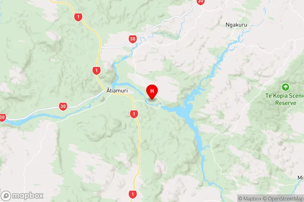
WaikatoOhakuri Region Map
Coordinates
-38.4039163,176.0765076 (latitude/longitude)Distances
The distance from Ohakuri, Reporoa, Taupo District to NZ Top 10 Cities