Ngamahango Area, Ngamahango Postcode & Map in Ngamahango
Ngamahango Area, Ngamahango Postcode & Map in Ngamahango, Rangitikei District, New Zealand
Ngamahango, Rangitikei District, New Zealand
Ngamahango Area (estimated)
-1.2 square kilometersNgamahango Population (estimated)
47 people live in Ngamahango, Hawke's Bay, NZNgamahango Suburb Area Map (Polygon)
Not available for nowNgamahango Introduction
Ngamahango is a small rural community located in Taihape, Hawke's Bay, New Zealand. It is known for its stunning natural surroundings, including the Ngamahango Mountains and the surrounding farmland. The community has a population of around 100 people and is home to a primary school, a church, and a few small businesses. Ngamahango is a popular destination for outdoor enthusiasts, with many hiking and biking trails in the area. The community also hosts a annual music festival, which attracts visitors from all over New Zealand.Region
Major City
Suburb Name
NgamahangoOther Name(s)
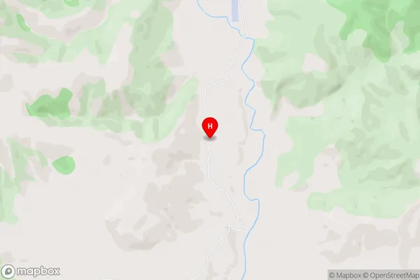
Mangaonoho, NgamahangaNgamahango Area Map (Street)
Local Authority
Rangitikei DistrictFull Address
Ngamahango, Rangitikei District, New ZealandAddress Type
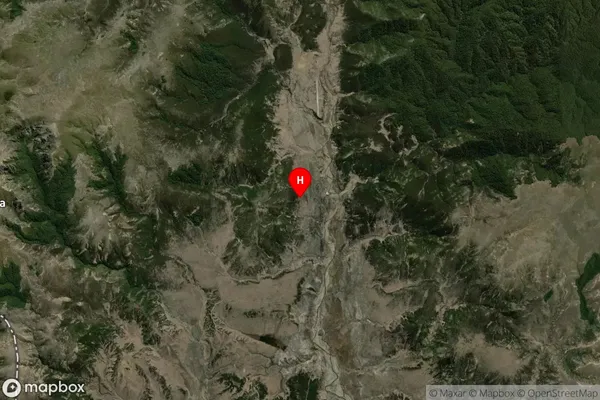
Locality in Town TaihapeNgamahango Suburb Map (Satellite)
Country
Main Region in AU
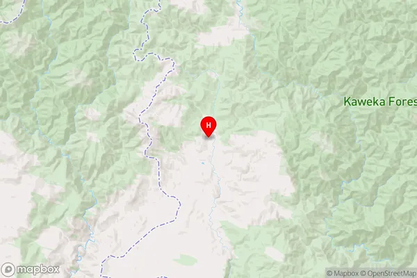
Hawke's BayNgamahango Region Map
Coordinates
-39.276667,176.149444 (latitude/longitude)Distances
The distance from Ngamahango, Taihape, Rangitikei District to NZ Top 10 Cities