Lake Mason Area, Lake Mason Postcode & Map in Lake Mason
Lake Mason Area, Lake Mason Postcode & Map in Lake Mason, Hurunui District, New Zealand
Lake Mason, Hurunui District, New Zealand
Lake Mason Area (estimated)
0.4 square kilometersLake Mason Population (estimated)
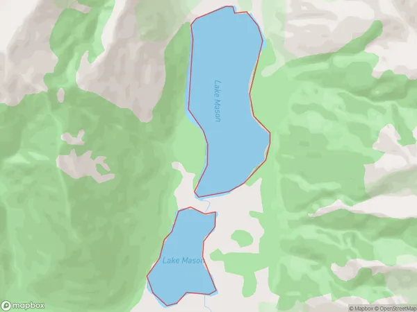
0 people live in Lake Mason, Canterbury, NZLake Mason Suburb Area Map (Polygon)
Lake Mason Introduction
Lake Mason is a small lake located in the Christchurch City Council area of Canterbury, New Zealand. It is a popular spot for fishing, boating, and picnicking and is surrounded by native trees and vegetation. The lake was formed in the 1860s by the construction of a dam for the Lyttelton Water Supply.Region
Suburb Name
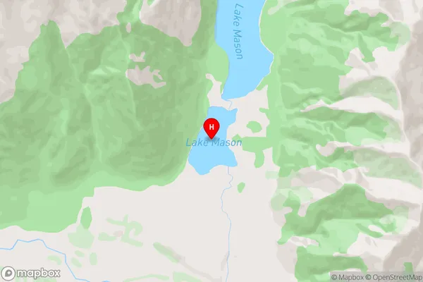
Lake MasonLake Mason Area Map (Street)
Local Authority
Hurunui DistrictFull Address
Lake Mason, Hurunui District, New ZealandAddress Type
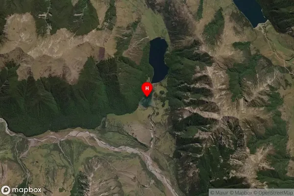
LakeLake Mason Suburb Map (Satellite)
Country
Main Region in AU
CanterburyLake Mason Region Map

Coordinates
-42.74254275,172.165605135355 (latitude/longitude)Distances
The distance from Lake Mason, , Hurunui District to NZ Top 10 Cities