Foxton Beach Area, Foxton Beach Postcode(4815) & Map in Foxton Beach
Foxton Beach Area, Foxton Beach Postcode(4815) & Map in Foxton Beach, Horowhenua District, New Zealand
Foxton Beach, Horowhenua District, New Zealand
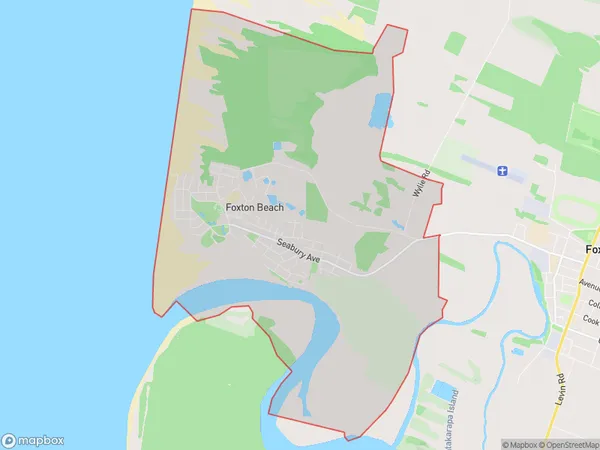
Foxton Beach Area (estimated)
21.2 square kilometersFoxton Beach Population (estimated)
2282 people live in Foxton Beach, Manawatu-Wanganui, NZFoxton Beach Suburb Area Map (Polygon)
Foxton Beach Introduction
Foxton Beach is a popular destination for swimmers, surfers, and beachgoers due to its safe sandy beach, clear waters, and stunning sunsets. It is located in the Manawatu-Wanganui region of New Zealand and is known for its peaceful atmosphere and natural beauty. The beach has a variety of facilities, including a playground, picnic areas, and a café, and is a popular spot for family outings and events.Region
Major City
Suburb Name
Foxton BeachFoxton Beach Area Map (Street)
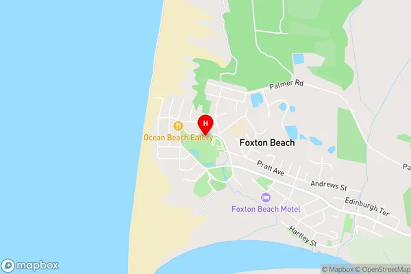
Local Authority
Horowhenua DistrictFull Address
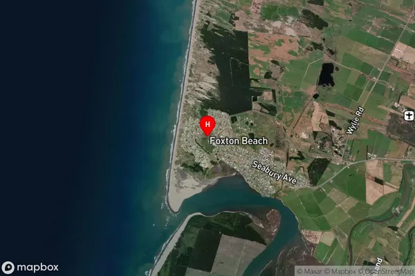
Foxton Beach, Horowhenua District, New ZealandAddress Type
Suburb in Town FoxtonFoxton Beach Suburb Map (Satellite)
Country
Main Region in AU
Manawatu-WanganuiFoxton Beach Region Map
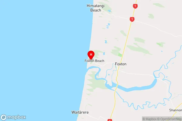
Coordinates
-40.4613776,175.2225541 (latitude/longitude)Distances
The distance from Foxton Beach, Foxton, Horowhenua District to NZ Top 10 Cities