Fortification Area, Fortification Postcode & Map in Fortification
Fortification Area, Fortification Postcode & Map in Fortification, Southland District, New Zealand
Fortification, Southland District, New Zealand
Fortification Area (estimated)
7.5 square kilometersFortification Population (estimated)
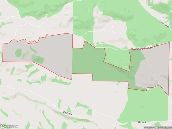
3 people live in Fortification, Waihopai Toetoe Community, NZFortification Suburb Area Map (Polygon)

Fortification Introduction
Fortification is a small rural community in Southland, New Zealand. It is located on the banks of the Mataura River, 12 kilometers southeast of Wyndham and 150 kilometers southwest of Invercargill. The area was first settled by Europeans in the 1860s, and the first fortification was built in 1868 to protect the settlers from Native American attacks. The fortification was later used as a base for gold mining and farming. Today, the area is known for its scenic beauty and historic buildings, including the Fortification Hotel, which was built in 1887.Region
Major City
Suburb Name
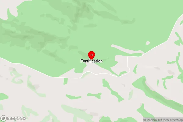
FortificationFortification Area Map (Street)

Local Authority
Southland DistrictFull Address
Fortification, Southland District, New ZealandAddress Type
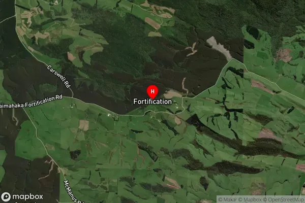
Locality in Town WyndhamFortification Suburb Map (Satellite)

Country
Main Region in AU
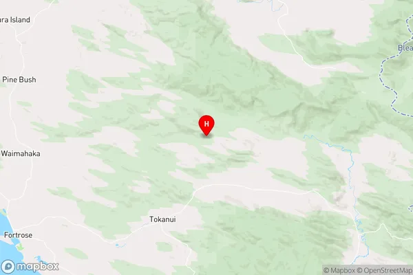
SouthlandFortification Region Map

Coordinates
-46.50807,168.98872 (latitude/longitude)Distances
The distance from Fortification, Wyndham, Southland District to NZ Top 10 Cities