Forrest Hill Area, Forrest Hill Postcode(0620) & Map in Forrest Hill
Forrest Hill Area, Forrest Hill Postcode(0620) & Map in Forrest Hill, Auckland, New Zealand
Forrest Hill, Auckland, New Zealand
Forrest Hill Area (estimated)
3.5 square kilometersForrest Hill Population (estimated)
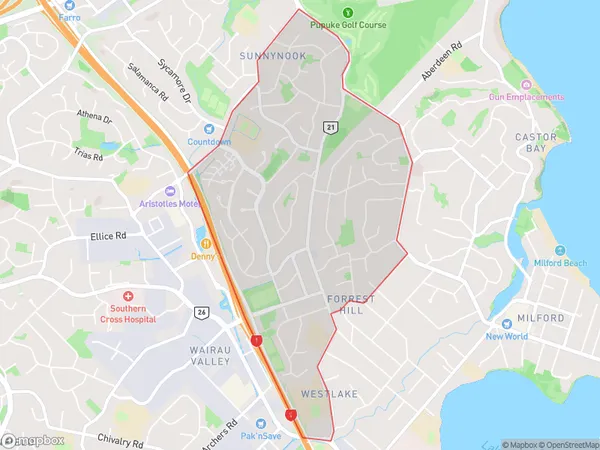
9970 people live in Forrest Hill, Devonport-Takapuna, NZForrest Hill Suburb Area Map (Polygon)
Forrest Hill Introduction
Forrest Hill is a suburb in Auckland, New Zealand, located in the Eastern Suburbs. It is known for its high-density housing and convenient location, with easy access to the city center and surrounding areas. The suburb has a mix of residential and commercial properties, including a large shopping center and several parks. Forrest Hill is also home to a number of educational institutions, including a primary school and a secondary college.Region
Major City
Suburb Name
Forrest HillOther Name(s)
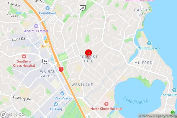
Crown Hill, Forest Hill, WestlakeForrest Hill Area Map (Street)
Local Authority
AucklandFull Address
Forrest Hill, Auckland, New ZealandAddress Type
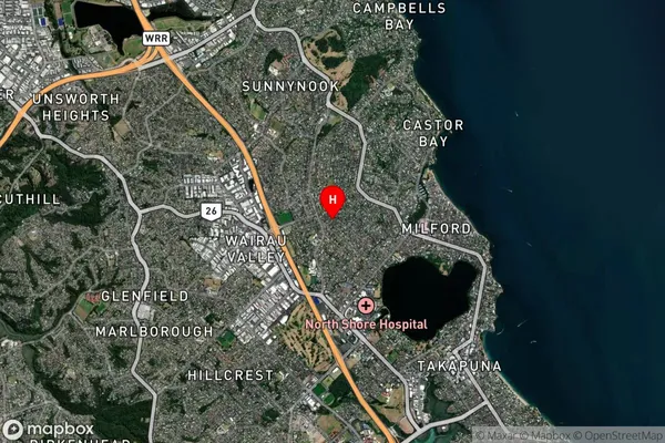
Suburb in City AucklandForrest Hill Suburb Map (Satellite)
Country
Main Region in AU
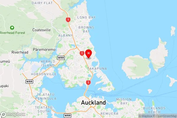
AucklandForrest Hill Region Map
Coordinates
-36.7709471,174.7516542 (latitude/longitude)Distances
The distance from Forrest Hill, Auckland, Auckland to NZ Top 10 Cities