Aranui Area, Aranui Postcode(8061) & Map in Aranui
Aranui Area, Aranui Postcode(8061) & Map in Aranui, Christchurch City, New Zealand
Aranui, Christchurch City, New Zealand
Aranui Area (estimated)
2.7 square kilometersAranui Population (estimated)
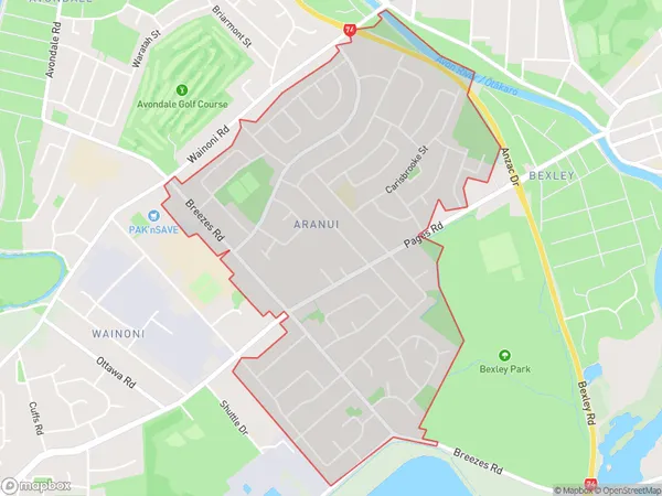
6908 people live in Aranui, Coastal-Burwood Community, NZAranui Suburb Area Map (Polygon)
Aranui Introduction
Aranui is a suburb of Christchurch, New Zealand, located in the eastern suburbs of the city. It is known for its large Pacific Islander population and has a vibrant community culture. The suburb has a number of popular landmarks, including the Aranui Community Centre, which hosts a range of cultural events and activities, and the Aranui Park, which is a popular recreational spot with a playground, a swimming pool, and a basketball court.Region
Major City
Suburb Name
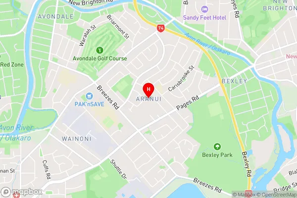
AranuiAranui Area Map (Street)
Local Authority
Christchurch CityFull Address
Aranui, Christchurch City, New ZealandAddress Type
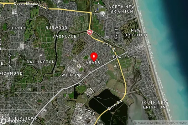
Suburb in City ChristchurchAranui Suburb Map (Satellite)
Country
Main Region in AU
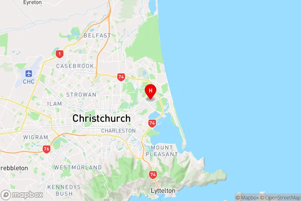
CanterburyAranui Region Map
Coordinates
-43.5132657,172.7035336 (latitude/longitude)Distances
The distance from Aranui, Christchurch, Christchurch City to NZ Top 10 Cities