Five Forks Area, Five Forks Postcode & Map in Five Forks
Five Forks Area, Five Forks Postcode & Map in Five Forks, Waitaki District, New Zealand
Five Forks, Waitaki District, New Zealand
Five Forks Area (estimated)
40.2 square kilometersFive Forks Population (estimated)
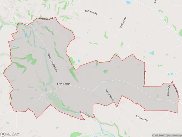
118 people live in Five Forks, Otago, NZFive Forks Suburb Area Map (Polygon)
Five Forks Introduction
Five Forks is a small rural community in Otago, New Zealand, located 12 km south of Oamaru. It is known for its historic stone buildings and scenic surroundings, including the Five Forks Creek and the Otago Peninsula. The area has a rich history of farming and mining, and the Five Forks Hotel is a popular destination for tourists.Region
Major City
Suburb Name
Five ForksOther Name(s)
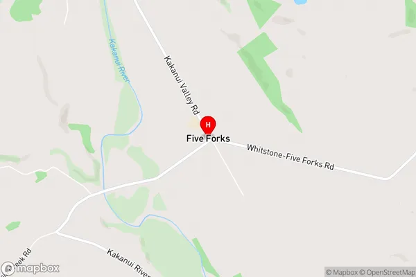
Marakerake, MaruakoaFive Forks Area Map (Street)
Local Authority
Waitaki DistrictFull Address
Five Forks, Waitaki District, New ZealandAddress Type
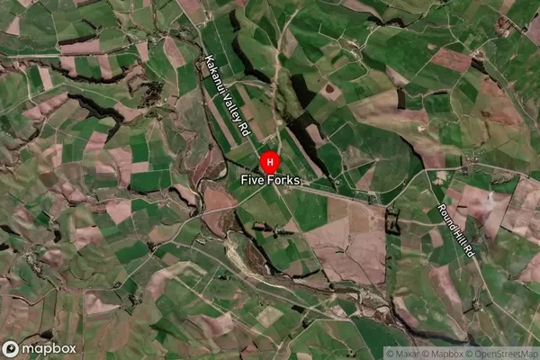
Locality in Town OamaruFive Forks Suburb Map (Satellite)
Country
Main Region in AU
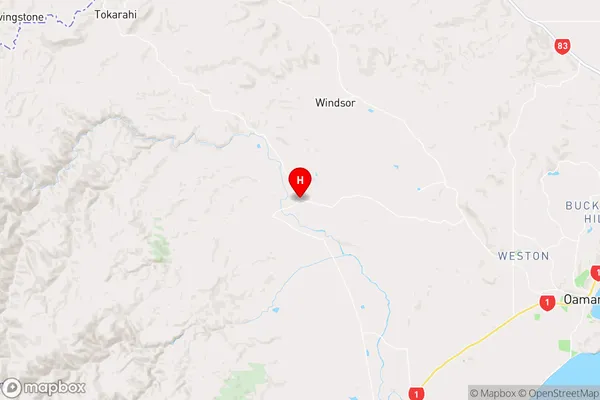
OtagoFive Forks Region Map
Coordinates
-45.0515778,170.7716397 (latitude/longitude)Distances
The distance from Five Forks, Oamaru, Waitaki District to NZ Top 10 Cities