Upper Nihotupu Reservoir Area, Upper Nihotupu Reservoir Postcode(1148) & Map in Upper Nihotupu Reservoir
Upper Nihotupu Reservoir Area, Upper Nihotupu Reservoir Postcode(1148) & Map in Upper Nihotupu Reservoir, Auckland, New Zealand
Upper Nihotupu Reservoir, Auckland, New Zealand
Upper Nihotupu Reservoir Postcodes
Upper Nihotupu Reservoir Area (estimated)
0.1 square kilometersUpper Nihotupu Reservoir Population (estimated)
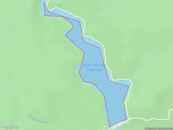
0 people live in Upper Nihotupu Reservoir, Waitākere Ranges, NZUpper Nihotupu Reservoir Suburb Area Map (Polygon)
Upper Nihotupu Reservoir Introduction
Upper Nihotupu Reservoir is a water storage facility in Auckland, New Zealand. It was built in the 1970s and supplies water to the city's suburbs. The reservoir is also a popular spot for fishing, boating, and hiking.Region
Major City
Suburb Name
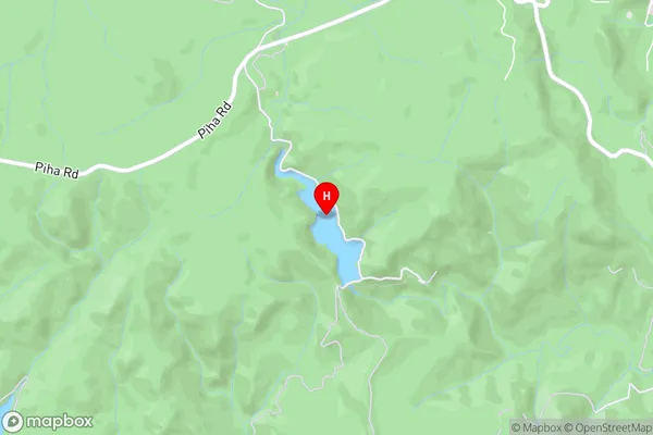
Upper Nihotupu ReservoirUpper Nihotupu Reservoir Area Map (Street)
Local Authority
AucklandFull Address
Upper Nihotupu Reservoir, Auckland, New ZealandAddress Type
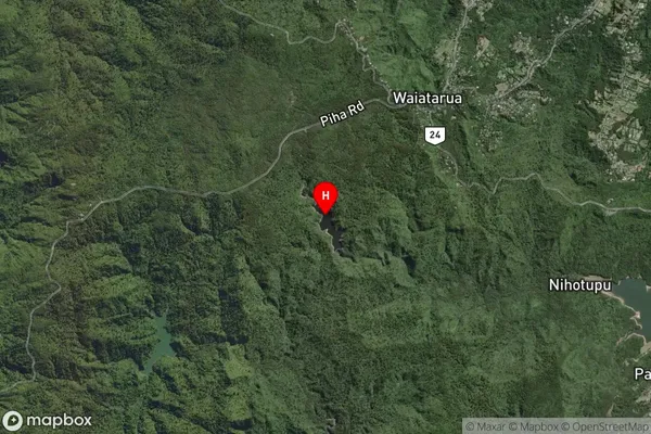
Lake in City AucklandUpper Nihotupu Reservoir Suburb Map (Satellite)
Country
Main Region in AU
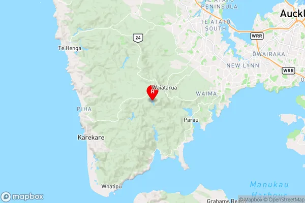
AucklandUpper Nihotupu Reservoir Region Map
Coordinates
-36.94735345,174.562021952559 (latitude/longitude)Distances
The distance from Upper Nihotupu Reservoir, Auckland, Auckland to NZ Top 10 Cities