Tokomaru No. 3 Reservoir Area, Tokomaru No. 3 Reservoir Postcode & Map in Tokomaru No. 3 Reservoir
Tokomaru No. 3 Reservoir Area, Tokomaru No. 3 Reservoir Postcode & Map in Tokomaru No. 3 Reservoir, Horowhenua District, New Zealand
Tokomaru No. 3 Reservoir, Horowhenua District, New Zealand
Tokomaru No. 3 Reservoir Area (estimated)
0.1 square kilometersTokomaru No. 3 Reservoir Population (estimated)
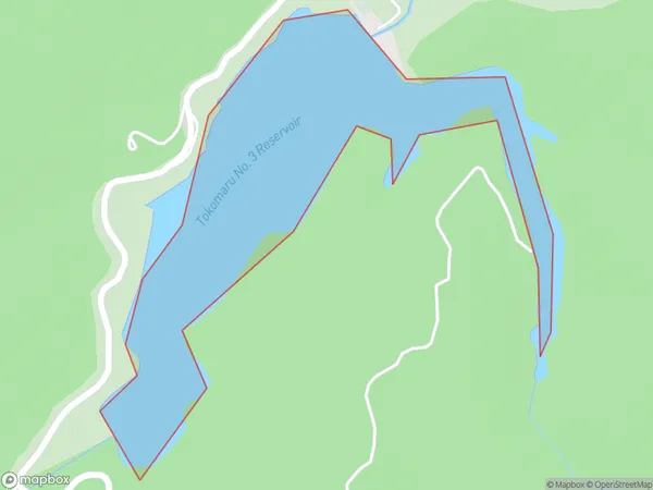
0 people live in Tokomaru No. 3 Reservoir, Manawatu-Wanganui, NZTokomaru No. 3 Reservoir Suburb Area Map (Polygon)
Tokomaru No. 3 Reservoir Introduction
The Tokomaru No. 3 Reservoir is a hydroelectric storage reservoir located in the Manawatu-Wanganui region of New Zealand. It was built in the 1970s and is part of the Tokomaru Power Station. The reservoir impounds the waters of the Rangitikei River, and its capacity is 126.5 million cubic meters. The reservoir provides a reliable source of electricity for the region, helping to balance the demand for power and ensuring a stable electricity supply.Region
Suburb Name
Tokomaru No. 3 ReservoirTokomaru No. 3 Reservoir Area Map (Street)

Local Authority
Horowhenua DistrictFull Address
Tokomaru No. 3 Reservoir, Horowhenua District, New ZealandAddress Type
LakeTokomaru No. 3 Reservoir Suburb Map (Satellite)

Country
Main Region in AU
Manawatu-WanganuiTokomaru No. 3 Reservoir Region Map

Coordinates
-40.58821695,175.480503504636 (latitude/longitude)Distances
The distance from Tokomaru No. 3 Reservoir, , Horowhenua District to NZ Top 10 Cities